
Turkish address information system
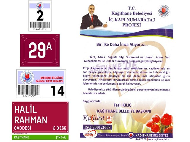
We digitised Istanbul’s printed 1:250,000 maps and developed its first Turkish Address Information System for the Metropolitan Municipality.
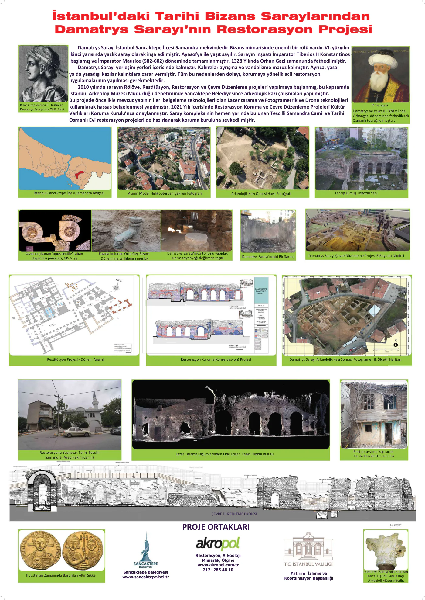
Since 1995, Akropol has connected surveying, architecture and information technologies in a single project workflow.
Evidence of experience
Restoration construction; plaque from Tokat Governorate.
Project scope ↗Survey and documentation3D laser scanning and deformation investigation; record used in doctoral research.
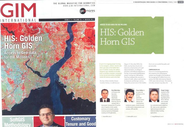
Project scope ↗Spatial information systemsWeb-based GIS; 2011 GIM International publication record.
Project scope ↗AKROPOL / SELECTED WORK
A monument, a historic structure, an airport. Our surveying and documentation expertise responds to the needs of each place.
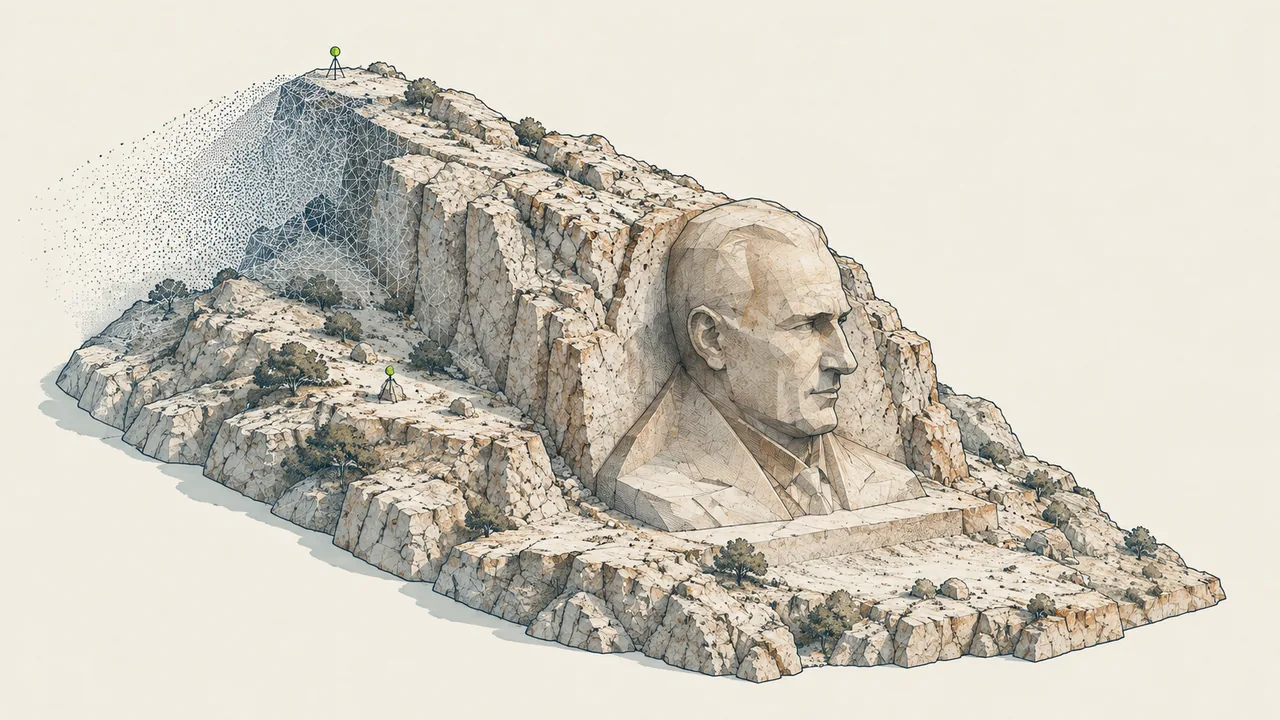
01 / SURVEY / DOCUMENTATION
İzmir · Buca
A digital record of a monumental work through laser scanning.
Explore project record →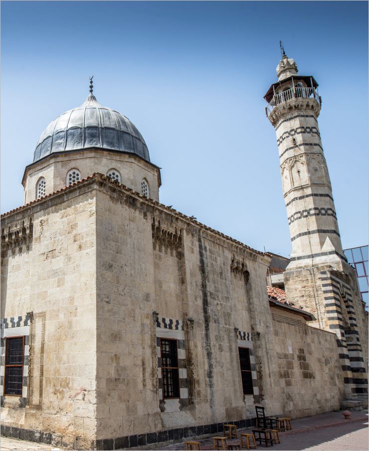
02 / HERITAGE / MEASURED SURVEY
Adana
A photogrammetric measured survey supporting conservation work.
Explore project record →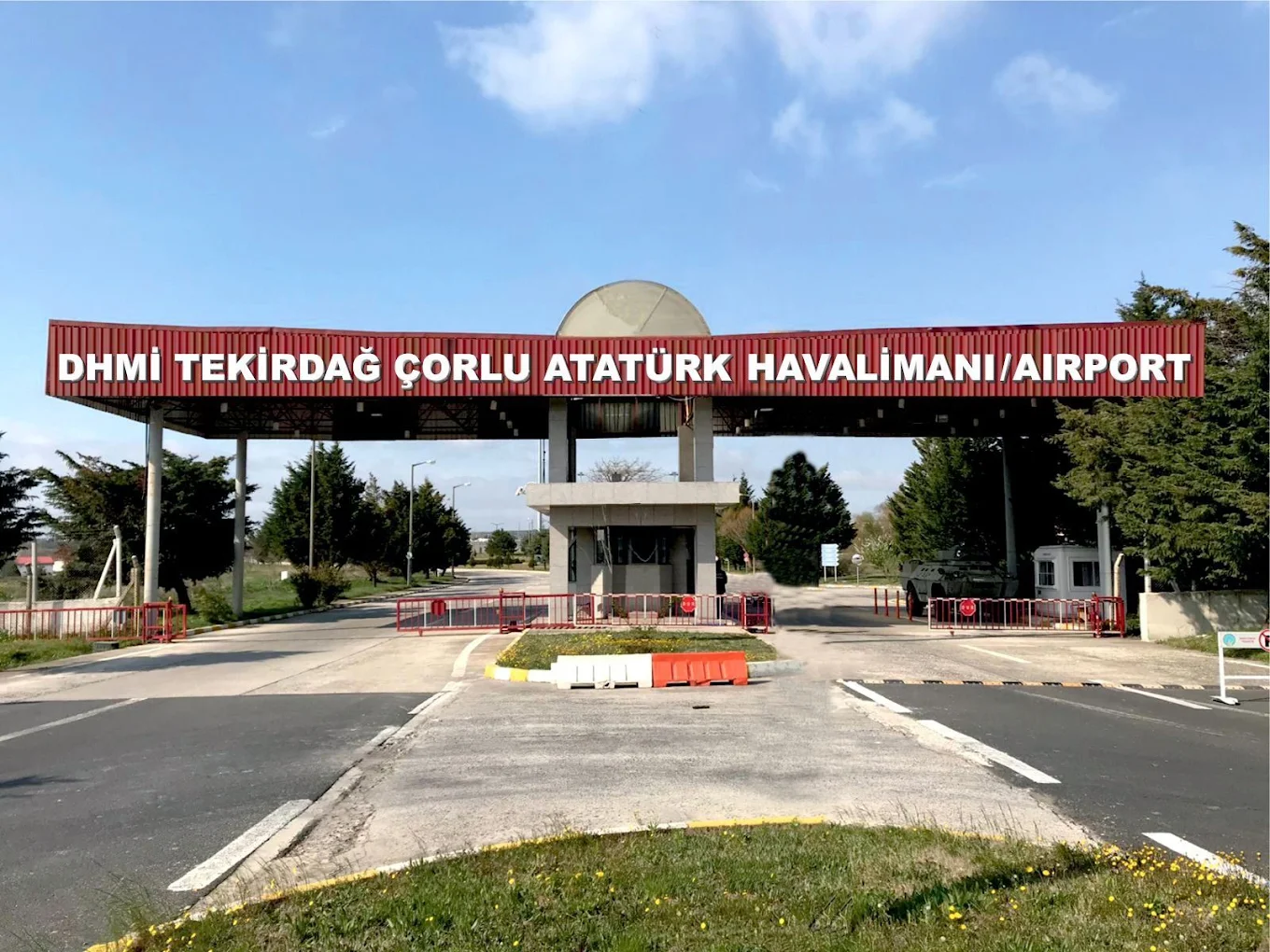
03 / DIGITAL TWIN / SPATIAL DATA
Tekirdağ · Çorlu
A three-dimensional spatial information system and digital twin of the terminal.
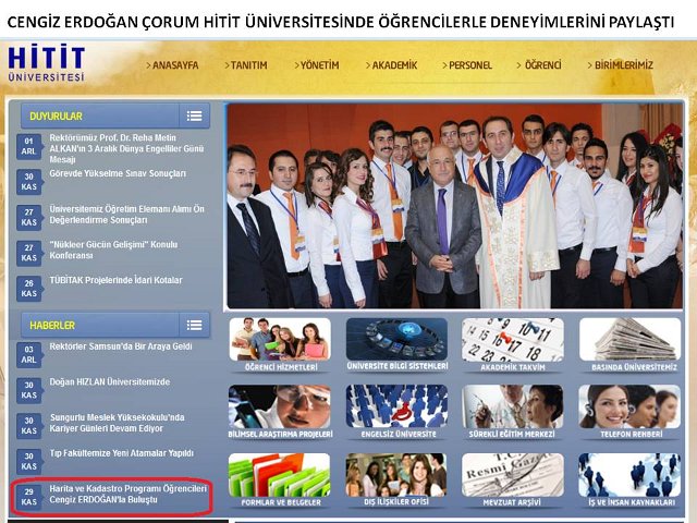
Explore project record →Founded in 1995 by Dr. Cengiz Erdoğan, Akropol is an engineering, architecture and information-technology company. For over 30 years, it has provided GPS, photogrammetry, GIS and laser-scanning products and services to public institutions, universities and private organisations in Türkiye.
We connect architecture, engineering, archaeology, planning, conservation and implementation with software development, structural monitoring, digital twins, IoT, machine learning and AI.
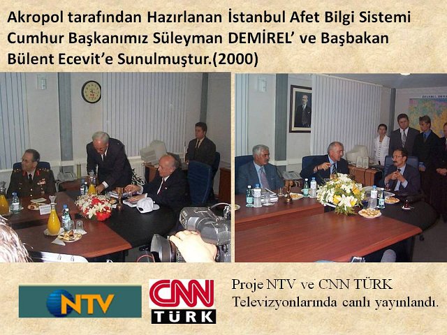
We carried out R&D for five years at the İTÜ KOSGEB Technology Development Zone through the Istanbul Disaster Information System project, followed by five years at Eskişehir ATAP Technopark. At Zonguldak Technopark, we completed our web-based photogrammetric 3D GIS digital-twin spatial information software project. Development of our Turkish mobile GIS-based building-inventory software continues.
Today, we operate from offices at Zonguldak Technopark and in Istanbul’s Beyoğlu district.
We digitised Istanbul’s printed 1:250,000 maps and developed its first Turkish Address Information System for the Metropolitan Municipality.
We prepared terrestrial photogrammetric surveys of four earthquake-damaged mosques, the first such survey project for the General Directorate of Foundations.
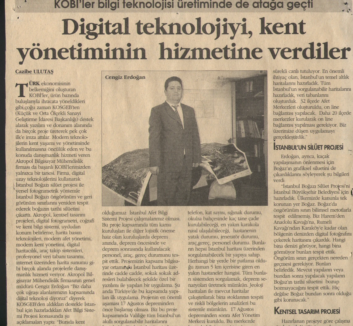
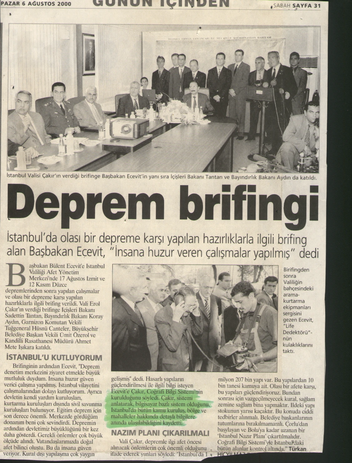
We developed a Turkish GIS-based disaster-management system for the Istanbul Governorate. The Marmara earthquake occurred about six weeks after the project began. A week of voluntary work at the Istanbul crisis centre informed subsequent applications.
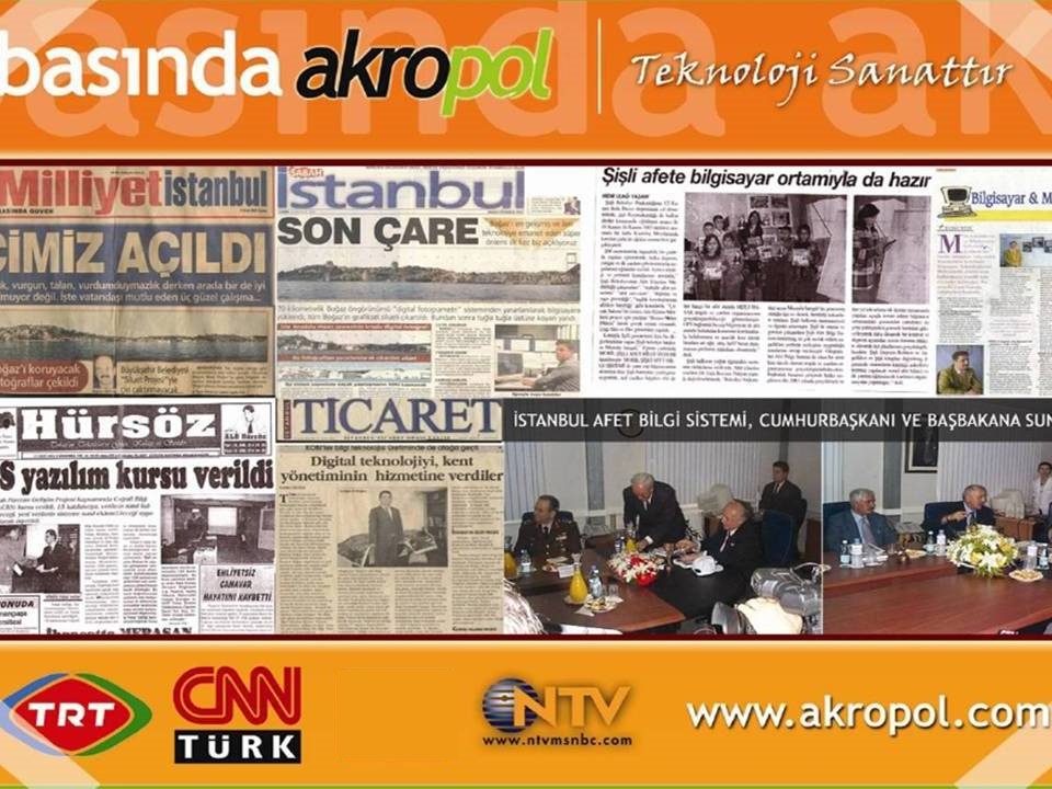
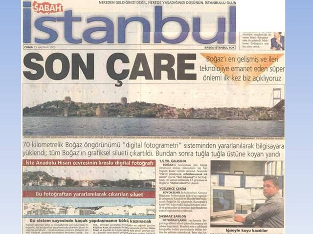
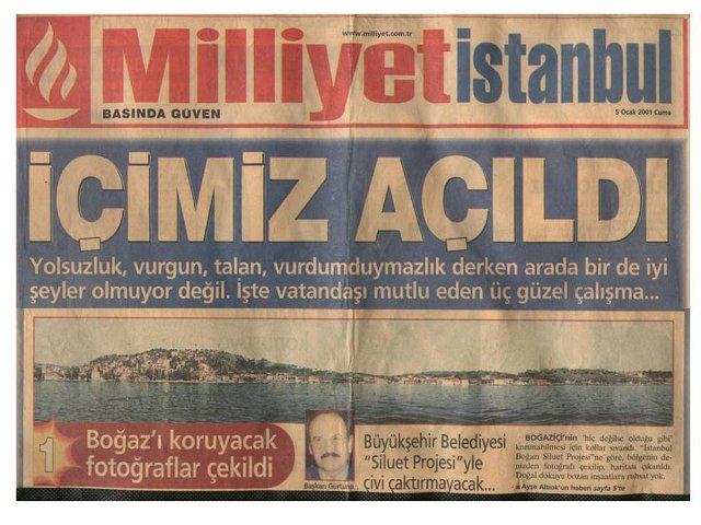
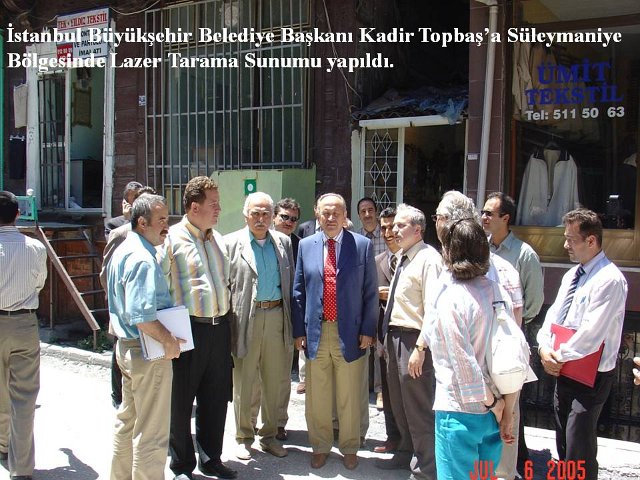
More than 30 academics and engineers participated in this terrestrial photogrammetry project for Istanbul Metropolitan Municipality, with İTÜ consultancy. Milliyet and Sabah covered it on their front pages.
We completed photogrammetric documentation of the mausoleum in Turkmenistan.
We documented the cemetery using photogrammetry and laser scanning, surveyed 130 gravestones and inventoried 4,500. This was the Ministry of Culture and Tourism’s first laser-scanning project.
We prepared laser-scanning and photogrammetric surveys for İSKİ, Istanbul Metropolitan Municipality’s first laser-scanning survey project.
Our survey, restitution, restoration and landscape project received an award from the Union of Historical Towns.
We carried out archaeological excavation, classification and documentation, conservation projects, urgent interventions and restoration works.
We completed restoration for use as a boutique hotel, receiving a plaque from the Governor of Tokat.
We documented over 30 works in 11 locations and connected their records in a web-based GIS.
We completed laser-scanning and deformation-monitoring work on the world’s second-oldest metro.
We connected the terminal’s 3D spatial information and asset data in a digital-twin project.
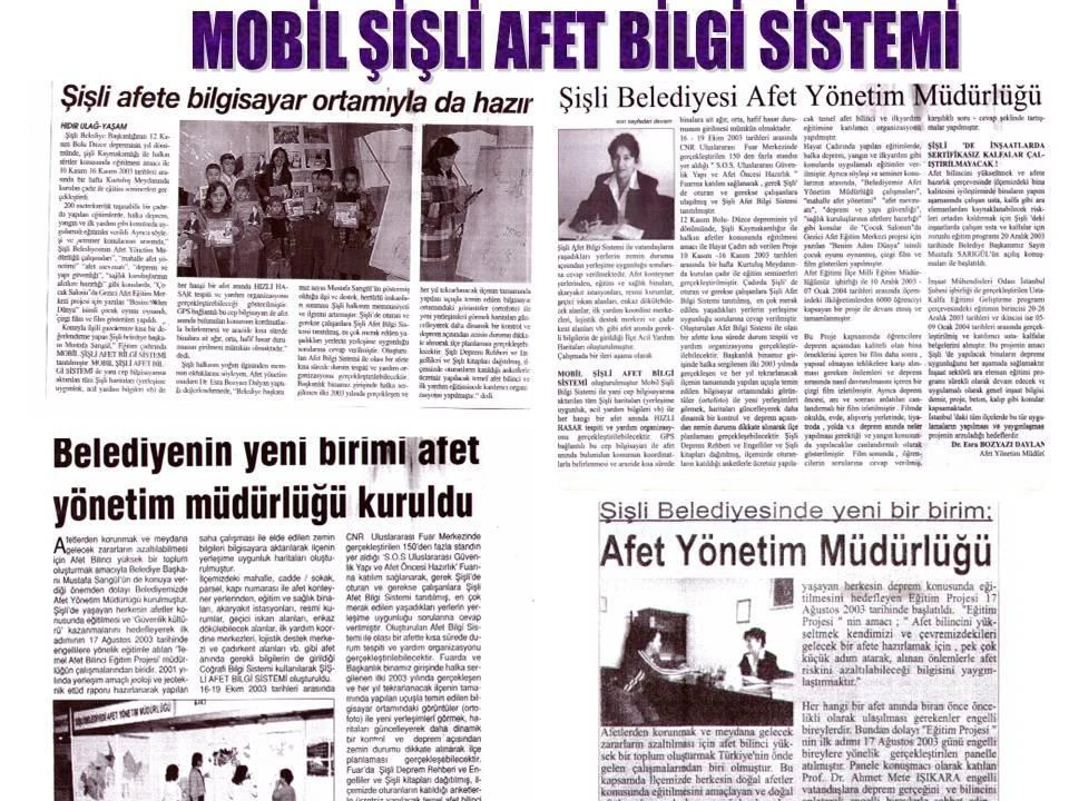
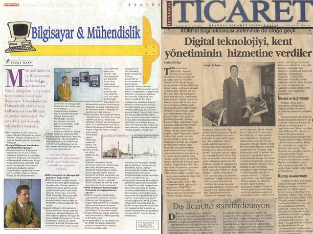
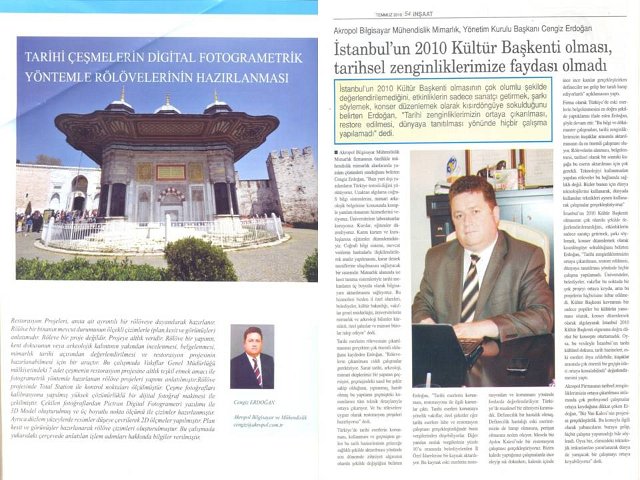
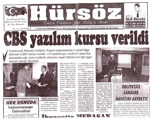
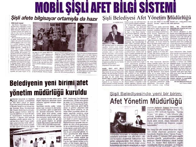
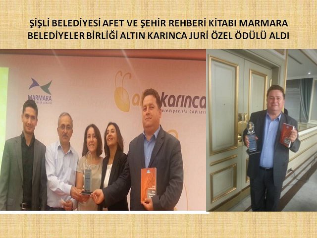
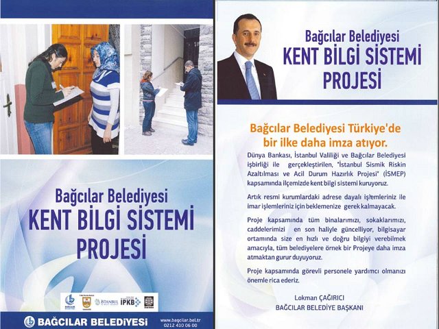
Press clippings from our archive. Open each image at full size.
10 distinct areas directly matched to the portfolio: 4 World Heritage, 6 Tentative List. Multiple records at one area count once. Tentative listing is neither World Heritage status nor UNESCO endorsement of the company.