 01
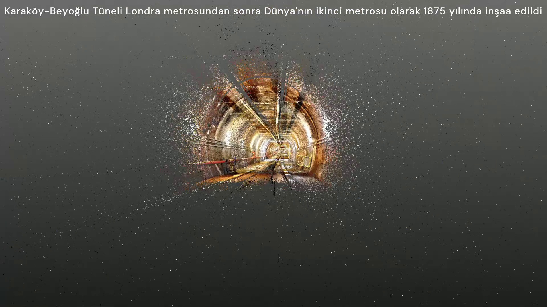
01Laser scanning
Rapid, detailed capture of existing geometry as dense point clouds.
Related service and outputs ↗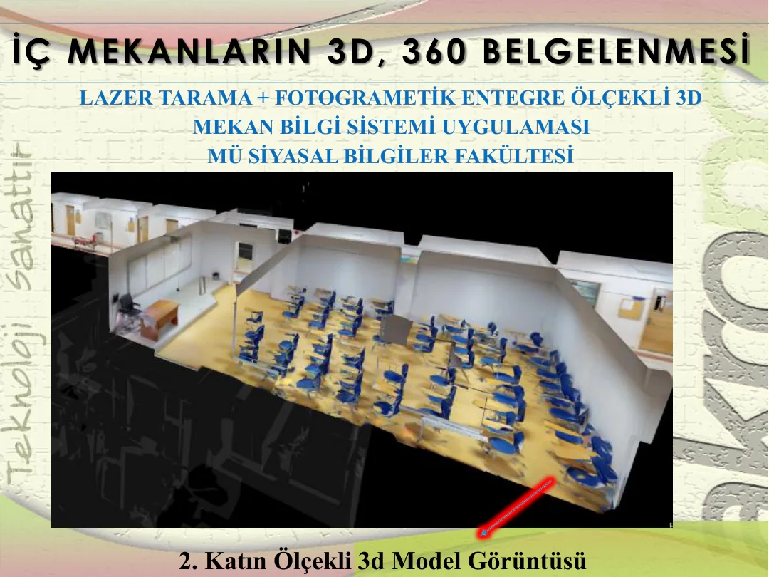
We treat technology not as a product catalogue, but as a connected set of methods that makes field problems measurable and manageable.
From need to method
Scale, accuracy, data structure and update ownership matter as much as the output name. These are defined before the commission starts.
| Need | Method | Output to define in the brief |
|---|---|---|
| Measure existing geometry ↗ | Laser scanning · photogrammetry · geodetic survey | Point cloud, orthophoto, plans and sections |
| Conserve a heritage asset ↗ | Measured survey · restitution · restoration | Conservation design and construction scope |
| Query location-based information ↗ | GIS · inventory · data links | Spatial database and queryable system |
| Connect space and asset information ↗ | 3D space · BIM · web 3D | Linked models and information layers |
| Monitor structural behaviour through time ↗ | Sensors · baseline · data analysis | Monitoring, alerts and reporting scope |
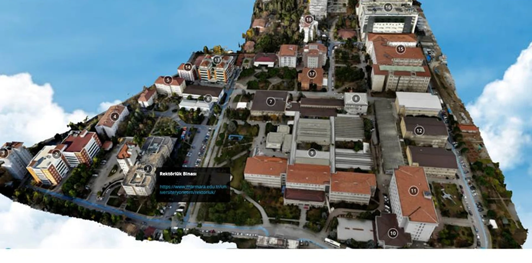 MODEL / BIM / WEB 3B
From field to system
01Rapid, detailed capture of existing geometry as dense point clouds.
Related service and outputs ↗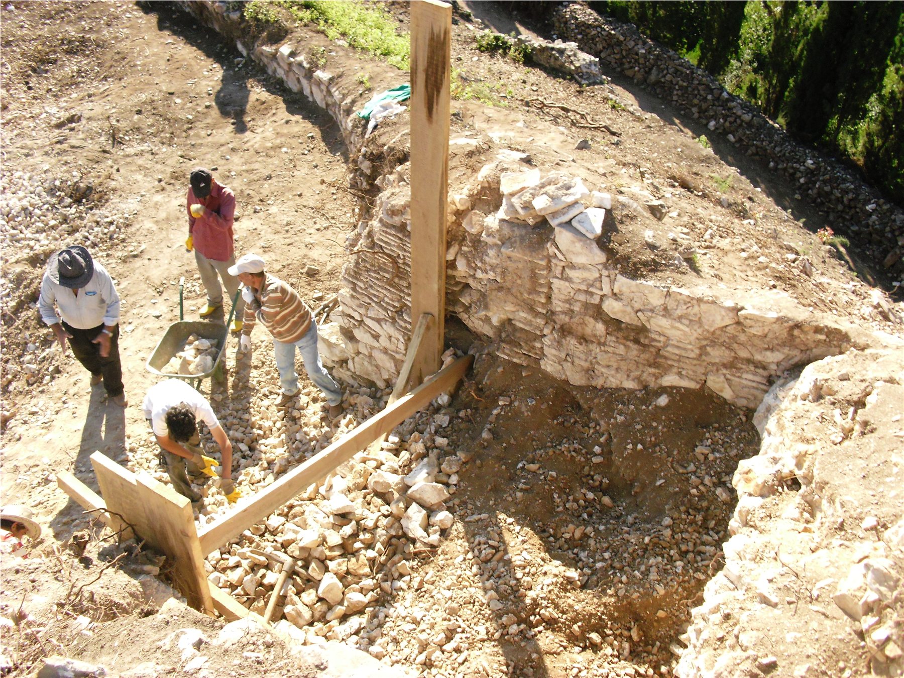 02
02Measurable orthophotos, surfaces and 3D models derived from imagery.
Related service and outputs ↗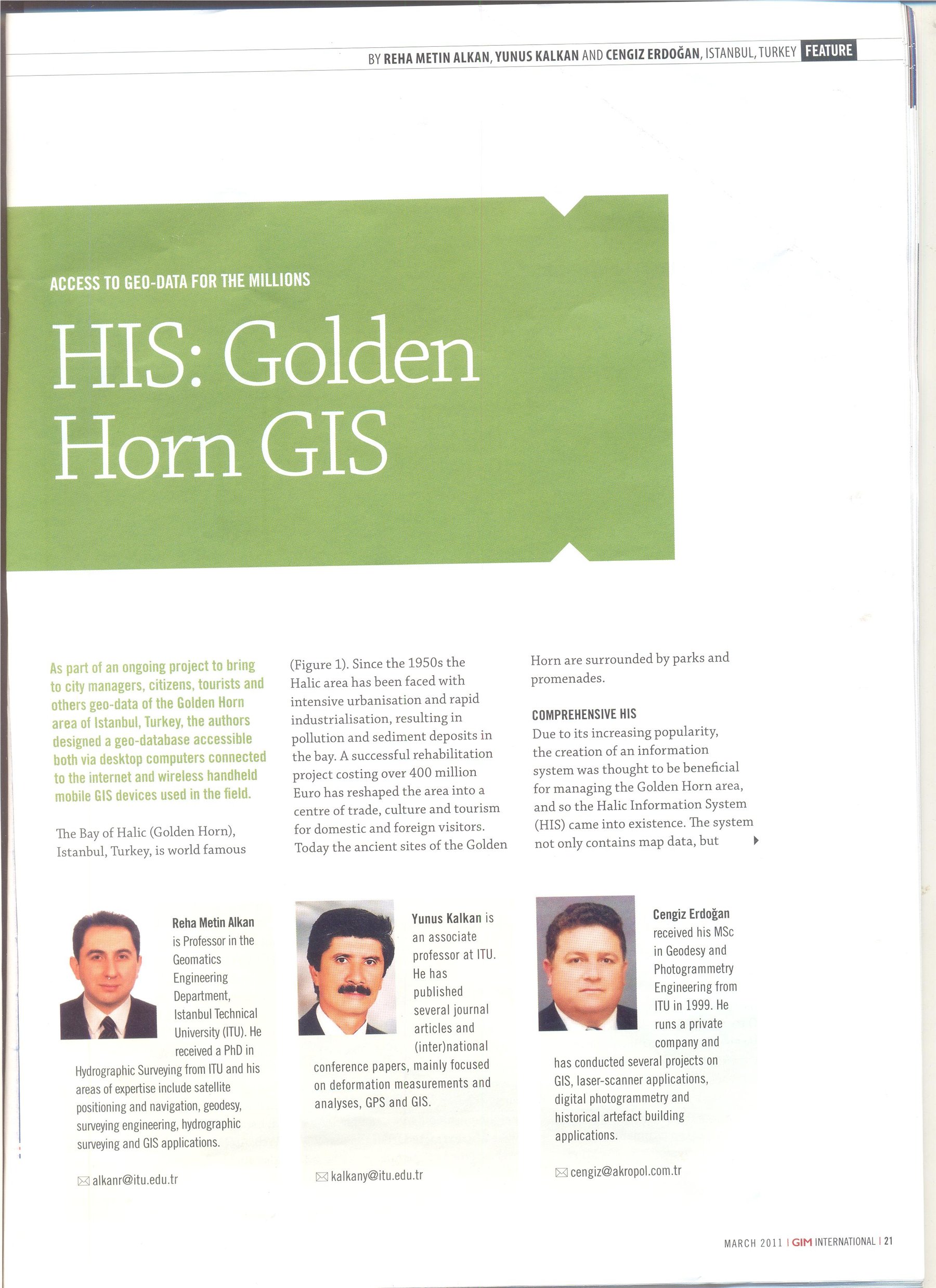 03
03Spatial and descriptive data combined in a shared, queryable structure.
Related service and outputs ↗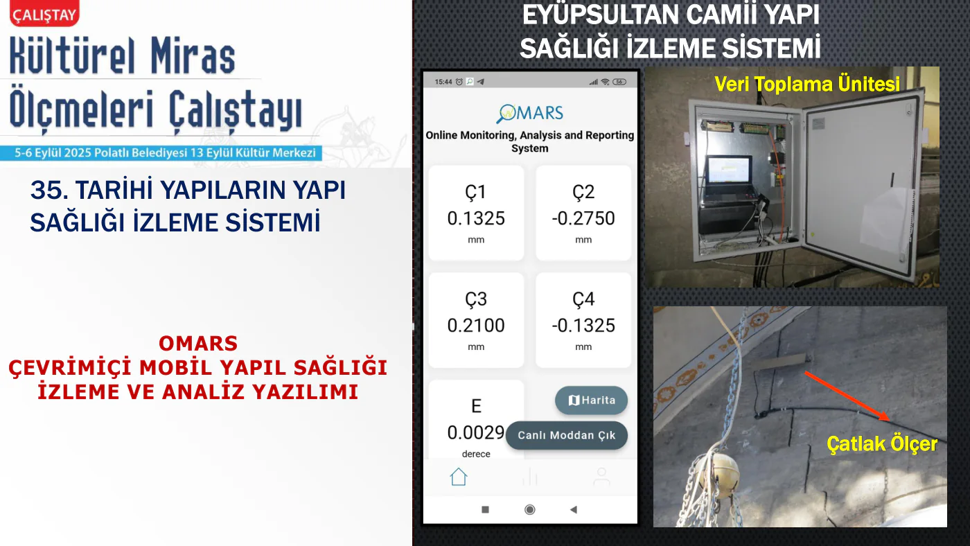 04
04Continuous observation of structural behaviour over time.
Related service and outputs ↗05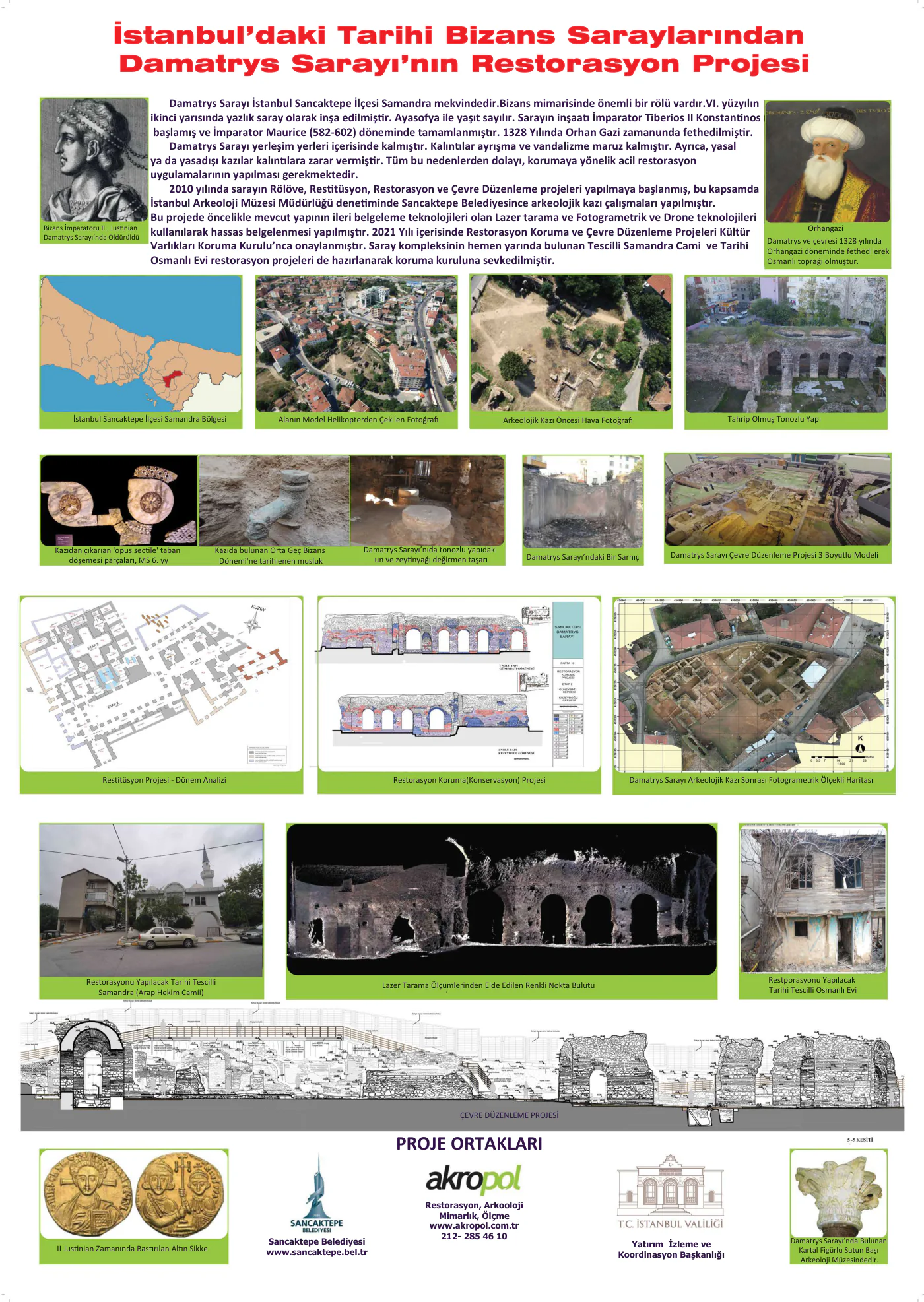 06
06Comparable indicators derived from survey and sensor data.
Related service and outputs ↗