
ISTANBUL · SINCE 1995

Projects that preserve heritage and build the future.

Akropol brings architectural design, measured survey, restoration and archaeological excavation together with GIS, BIM, digital twins and structural monitoring.

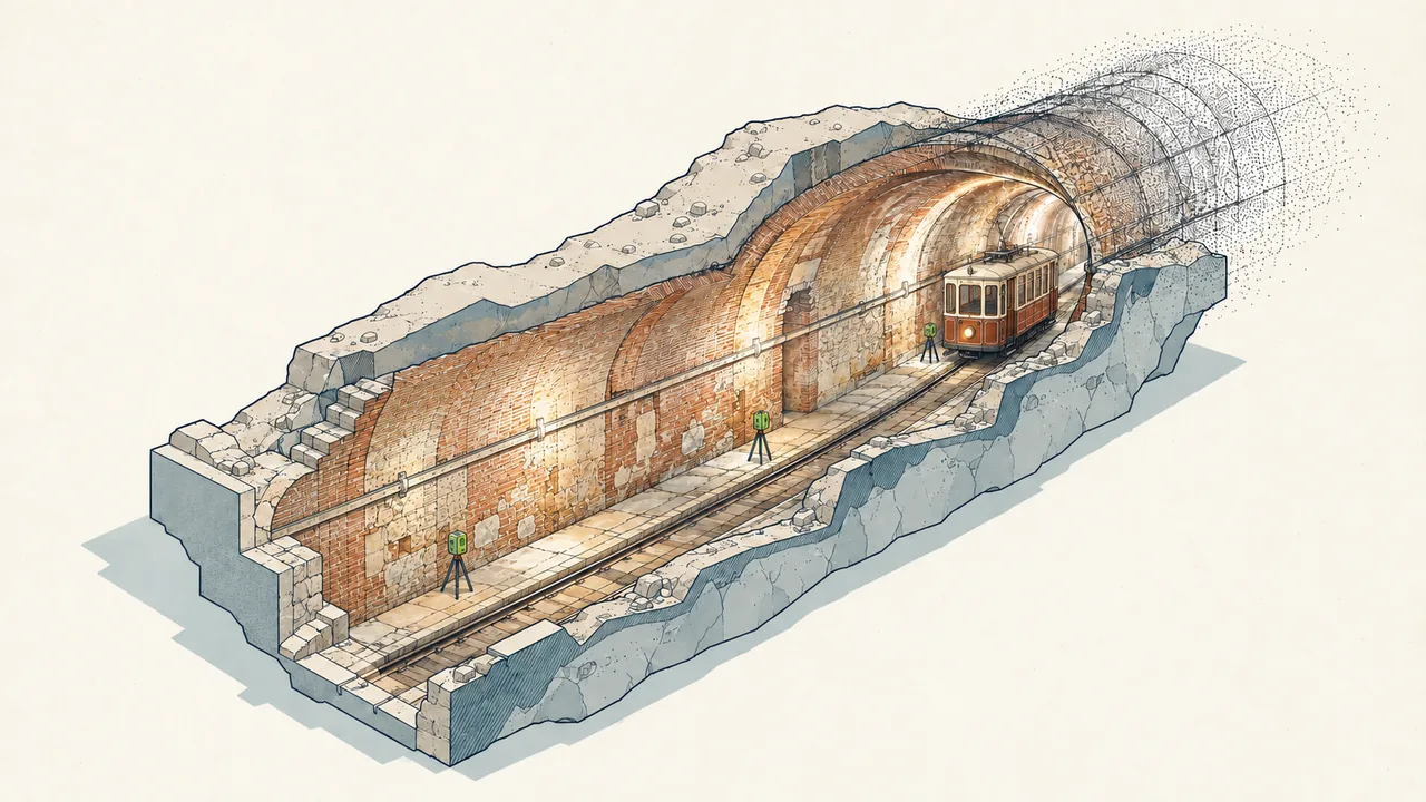
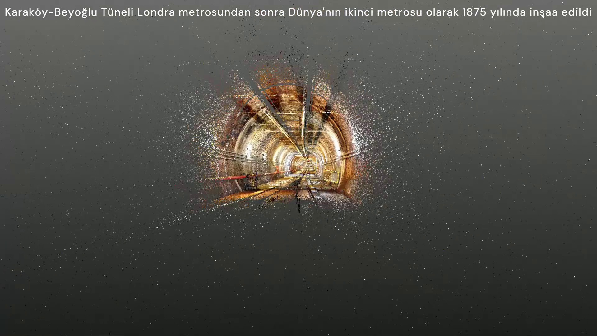
GALATA–KARAKÖY–BEYOĞLU TUNNEL · 3D LASER-SCAN RECORD

Approach

We begin with the physical and historical value of a place. We protect it through design, measured survey, restoration and archaeology. Digital systems keep that knowledge alive.

Documenting historic Ottoman heritage in Palestine.

In February 2015, a six-person architecture and engineering team documented more than 30 Ottoman works across 11 locations in eight days using GPS and photogrammetry.
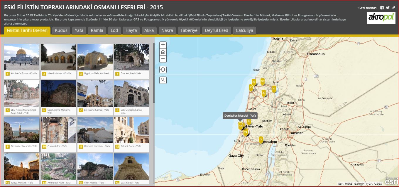
2015 project map showing heritage photographs and location markers for Ottoman works in Palestine
AKROPOL ARCHIVE · 2015
HISTORIC CITIES OF PALESTINE · 2015

Palestinian Cultural Heritage Information System

Scaled surveys captured with GPS and photogrammetry were registered in an international coordinate system, then connected with heritage photographs and locations in a web-based GIS.

01 Heritage inventory02 Scaled 3D models03 Web-based GIS
View project record →
Connect disaster data at city scale.

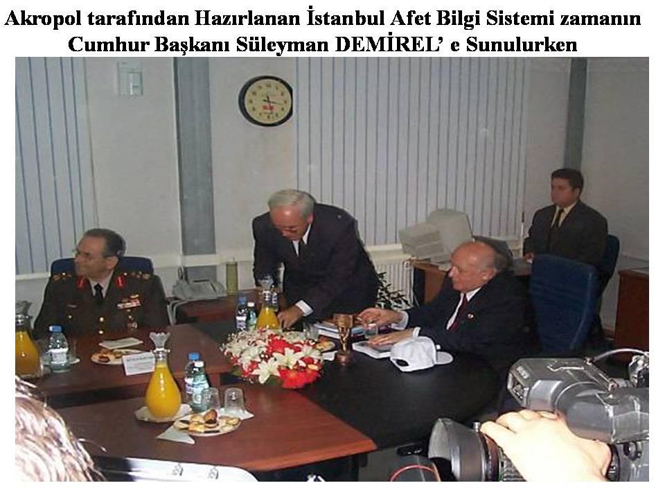
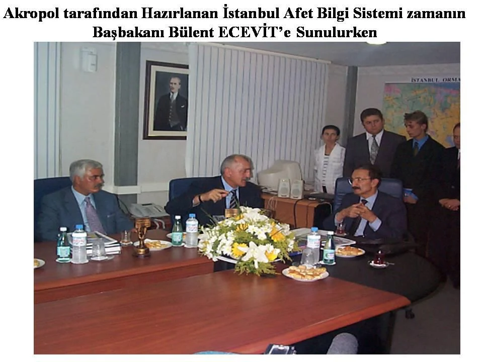
The Istanbul Disaster Information System brought building, location and operational-need data together in a queryable decision-support layer.

Presentation of the Istanbul Disaster Information System to President Süleyman Demirel · Akropol archivePresentation of the Istanbul Disaster Information System to Prime Minister Bülent Ecevit · Akropol archive
ISTANBUL · 1999

Istanbul Disaster Information System

Started before the 1999 Marmara earthquake, the system was revised around needs revealed during the disaster. The İTÜ KOSGEB-supported process also marked Akropol's move to the İTÜ Ayazağa Campus.

01 Public-building inventory02 GIS-based querying03 Revision for disaster needs

Projects that conserve heritage and shape the future.

Architecture, restoration and archaeology come first; GIS, BIM, digital twins and monitoring extend each record into a living system.

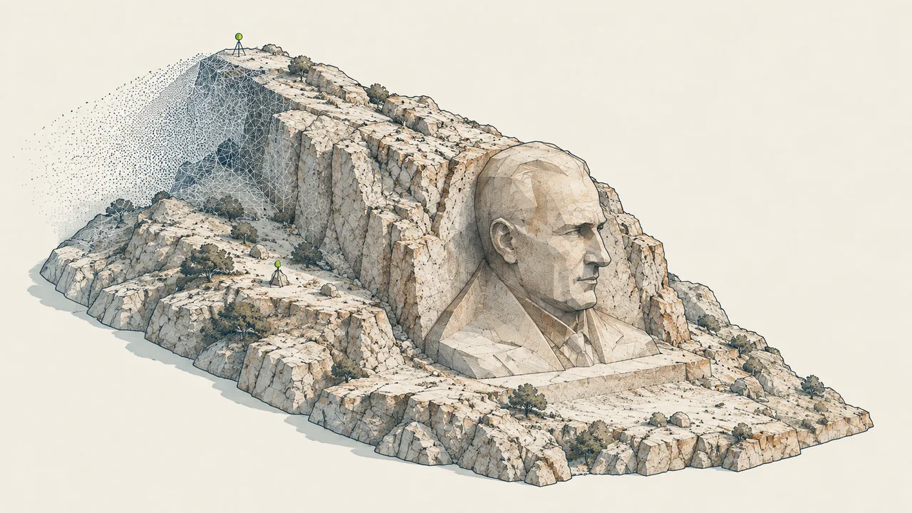
İzmir Buca Atatürk Relief Monument
İzmir · Buca

İzmir Buca Atatürk Relief Monument

Cultural heritage and 3D documentation

We laser-scanned the relief and documented it in 3D.

Explore the project ↗
Galata–Karaköy–Beyoğlu Tunnel
Istanbul

Galata–Karaköy–Beyoğlu Tunnel

3D documentation and engineering

We laser-scanned the tunnel and examined changes in its geometry.

Explore the project ↗
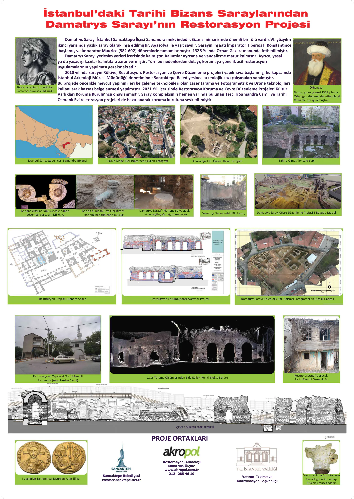
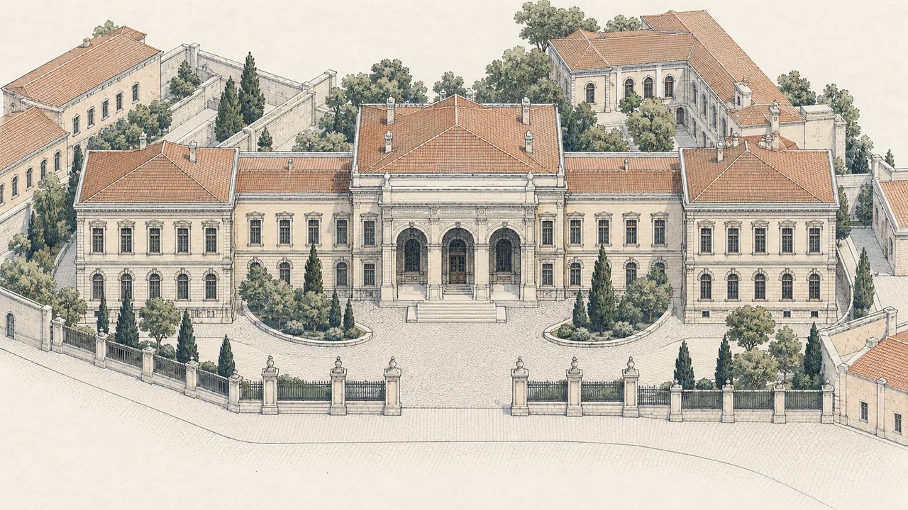
Damatris Palace
Istanbul · Sancaktepe

Damatris Palace

Cultural heritage and conservation

We documented the palace remains and prepared conservation and restoration projects.

Explore the project ↗
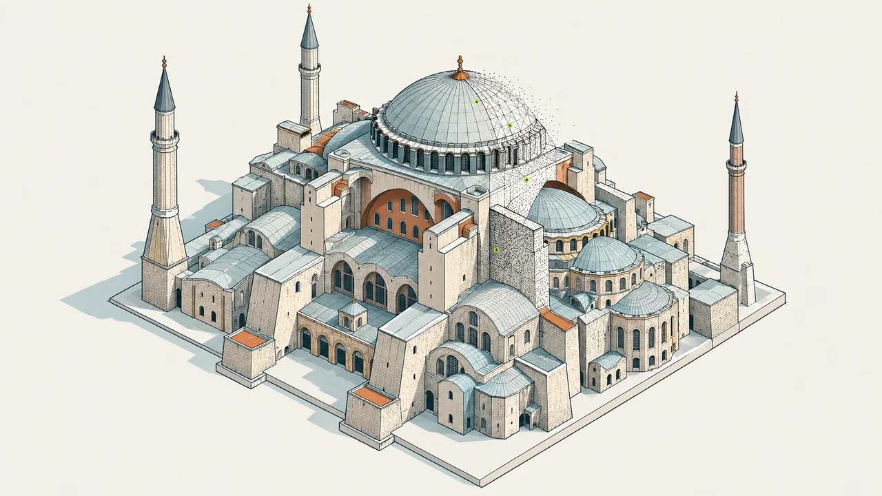
Hagia Sophia
Istanbul

Hagia Sophia

Cultural heritage and conservation

Explore the Hagia Sophia heritage project record.

Explore the project ↗
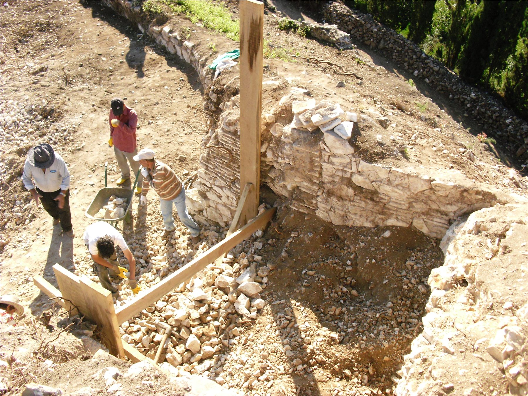
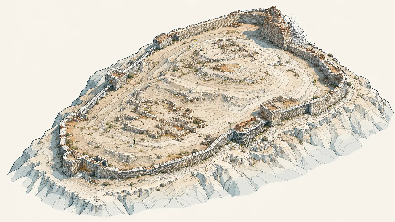
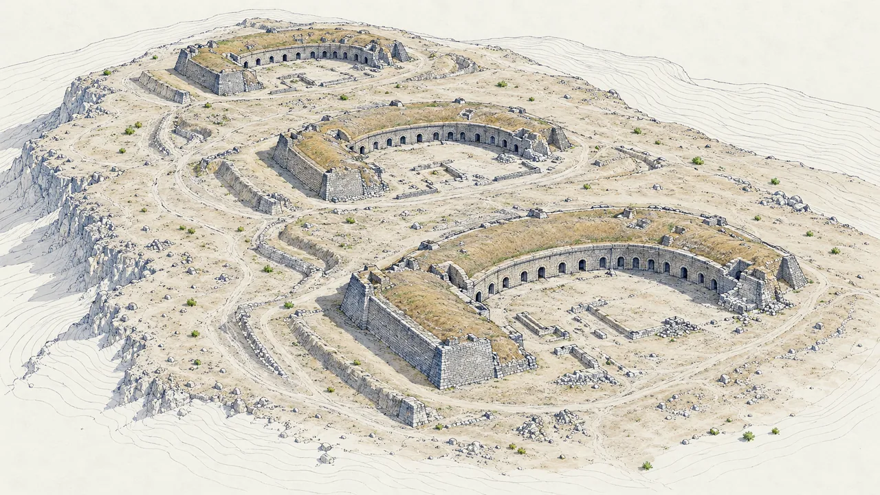
Aydos Castle
Istanbul · Sultanbeyli

Aydos Castle

Cultural heritage and archaeology

We carried out archaeological excavation, documented the castle and prepared conservation projects.

Explore the project ↗
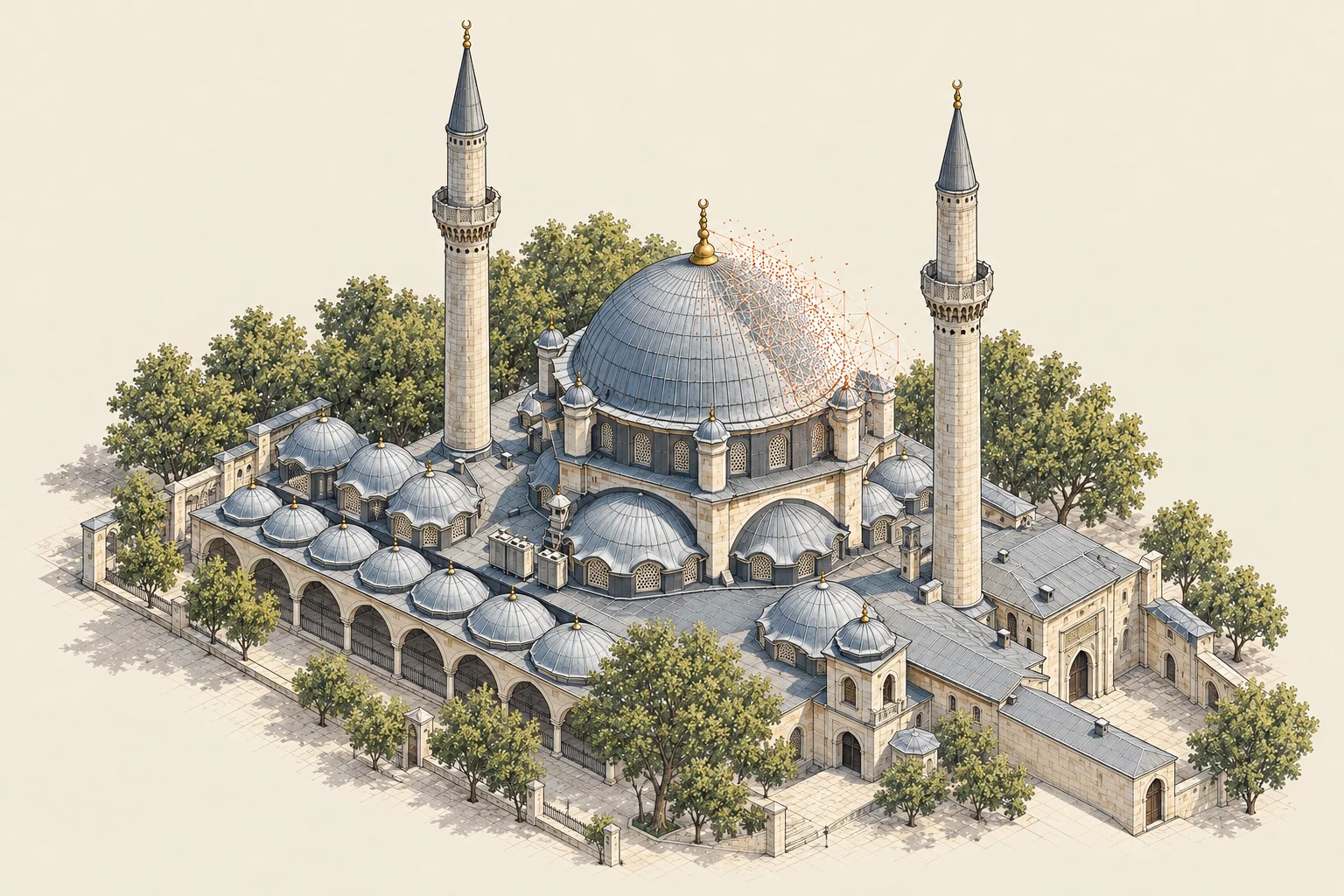
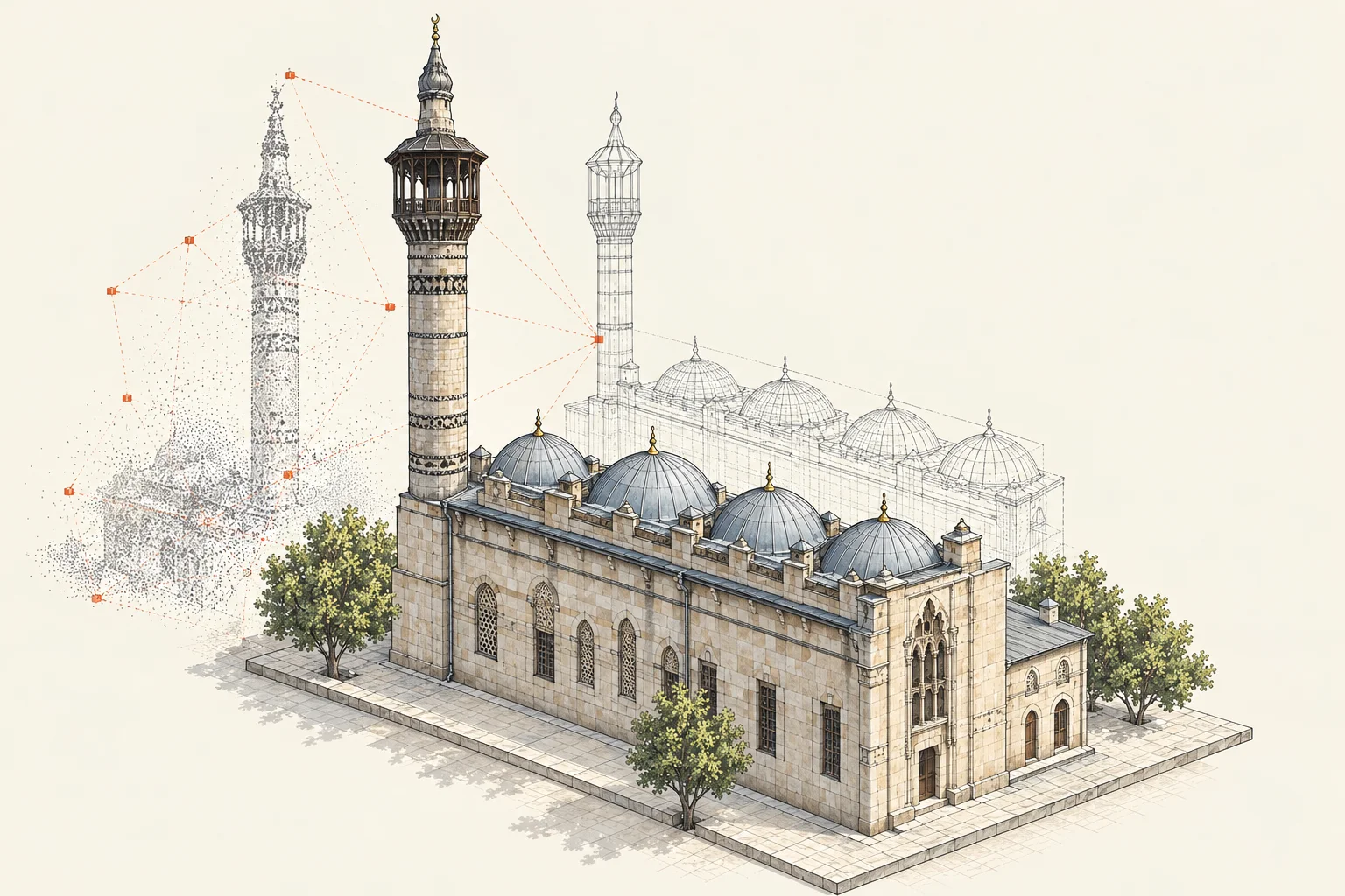
Representative axonometric illustration of Eyüpsultan Mosque
Istanbul

Eyüpsultan Mosque Structural Health Monitoring

Monitoring and OMARS

We monitored the building with sensors and analysed the measurements online.

Explore the project ↗
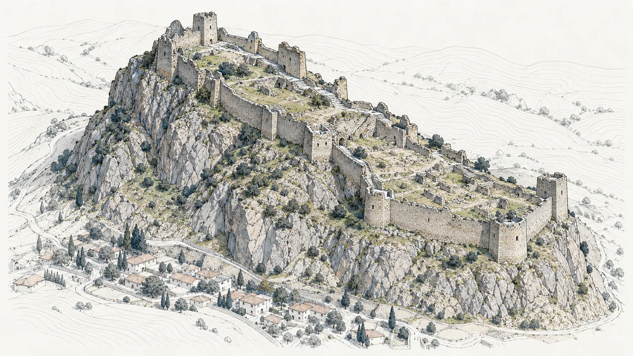
Niksar Castle
Tokat · Niksar

Niksar Castle

Architectural conservation and urban design

We surveyed the castle and prepared restoration and landscape projects.

Explore the project ↗
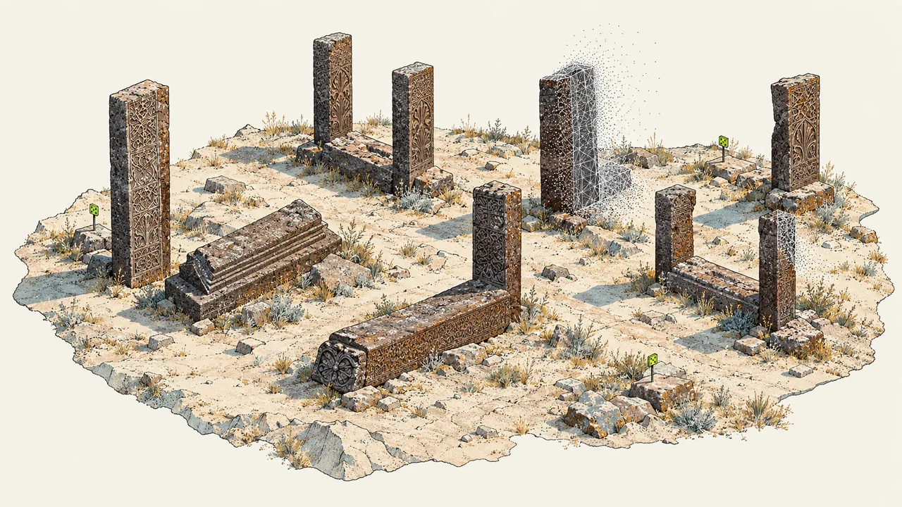
Ahlat Seljuk Cemetery
Bitlis · Ahlat

Ahlat Seljuk Cemetery

Cultural heritage and mobile GIS

We documented the gravestones and connected their inventory to a GIS.

Explore the project ↗
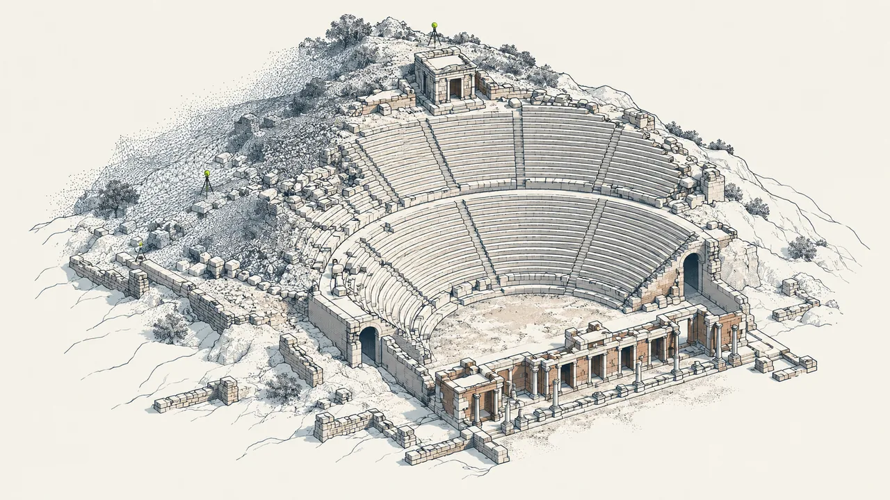
Patara Ancient City Photogrammetric Documentation
Antalya · Patara

Patara Ancient City Photogrammetric Documentation

Archaeology and photogrammetry

We surveyed the ancient site with photogrammetry and documented it in 3D.

Explore the project ↗
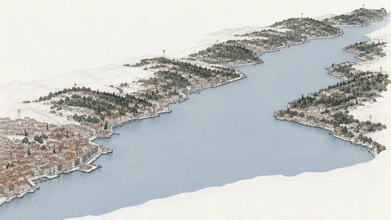
Golden Horn Information System
Istanbul · Golden Horn

Golden Horn Information System

GIS and urban information system

We connected Golden Horn spatial data in a web-based information system.

Explore the project ↗

Core practices

What does Akropol do?

Akropol surveys sites and buildings, documents architectural and archaeological value, and produces conservation and design projects. It then connects this knowledge to GIS, BIM, digital-twin and structural-monitoring systems for decisions, delivery and long-term management.

A record produced since 1995.

Full timeline →
Akropol was founded in Istanbul

Akropol was founded in Istanbul

The beginning of a multidisciplinary practice connecting geomatics with architecture, planning, software and consulting.

Istanbul Electronic Directory

Istanbul Electronic Directory

Developed as Akropol's first commission, the system was conceived as the first Turkish-language electronic directory allowing citywide address searches across Istanbul.

Representative axonometric illustration of Adana–Ceyhan mosque documentation

Photogrammetric surveys of four mosques in Ceyhan

Following the Adana–Ceyhan earthquake, photogrammetric measured surveys were prepared for four mosques. According to the client statement, this was the General Directorate of Foundations' first photogrammetric project.

Istanbul Bosphorus Silhouette Project

Istanbul Bosphorus Silhouette Project

The portfolio records this project, documenting the Istanbul Bosphorus silhouette between Karaköy–Rumeli Kavağı and Harem–Anadolu Kavağı, for the 1998–1999 period.

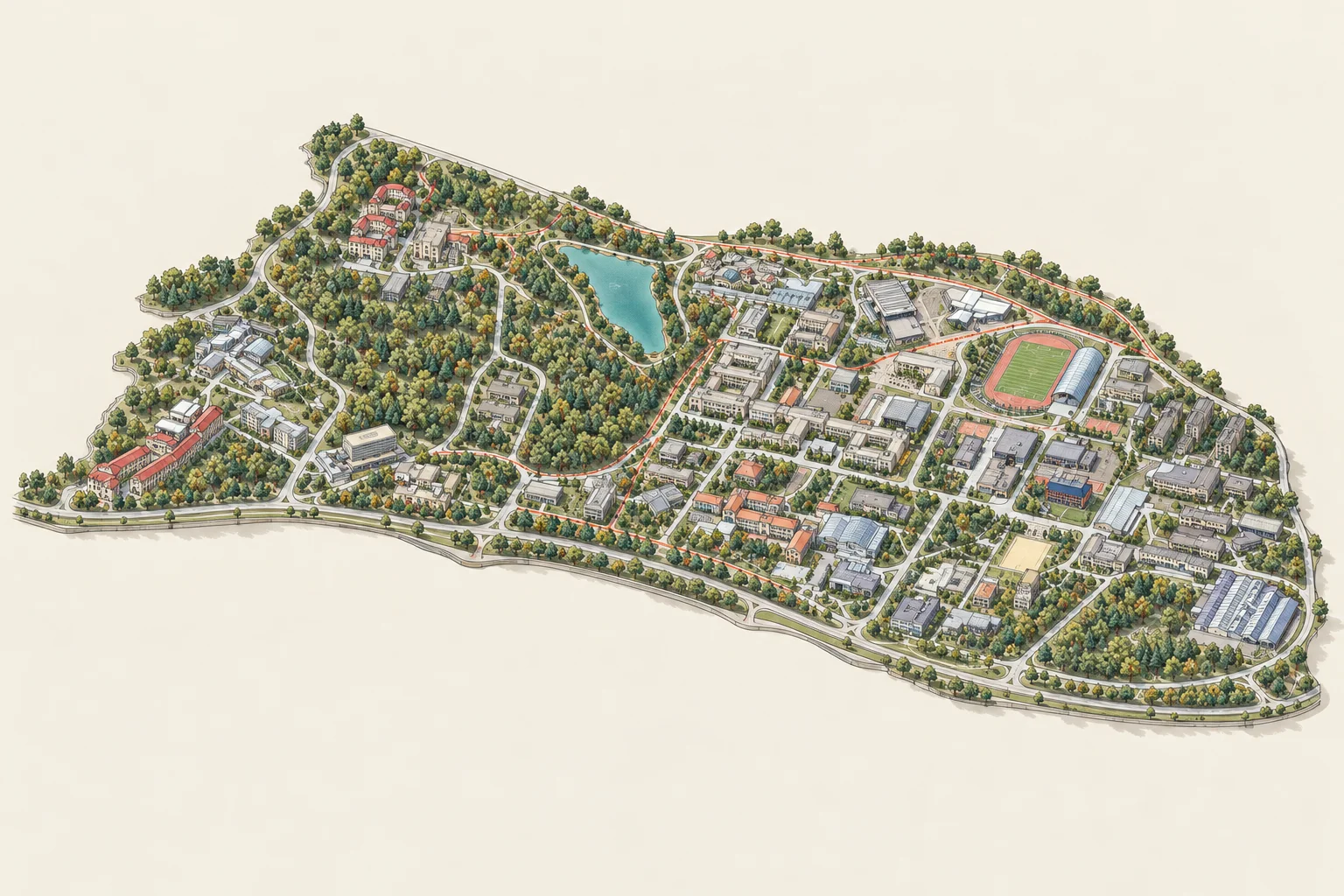
Representative axonometric illustration of İTÜ Ayazağa Campus

Istanbul Disaster Information System and İTÜ Ayazağa

Started before the Marmara earthquake, the system was revised in response to disaster needs. With İTÜ KOSGEB support, Akropol moved to the İTÜ Ayazağa Campus that year.

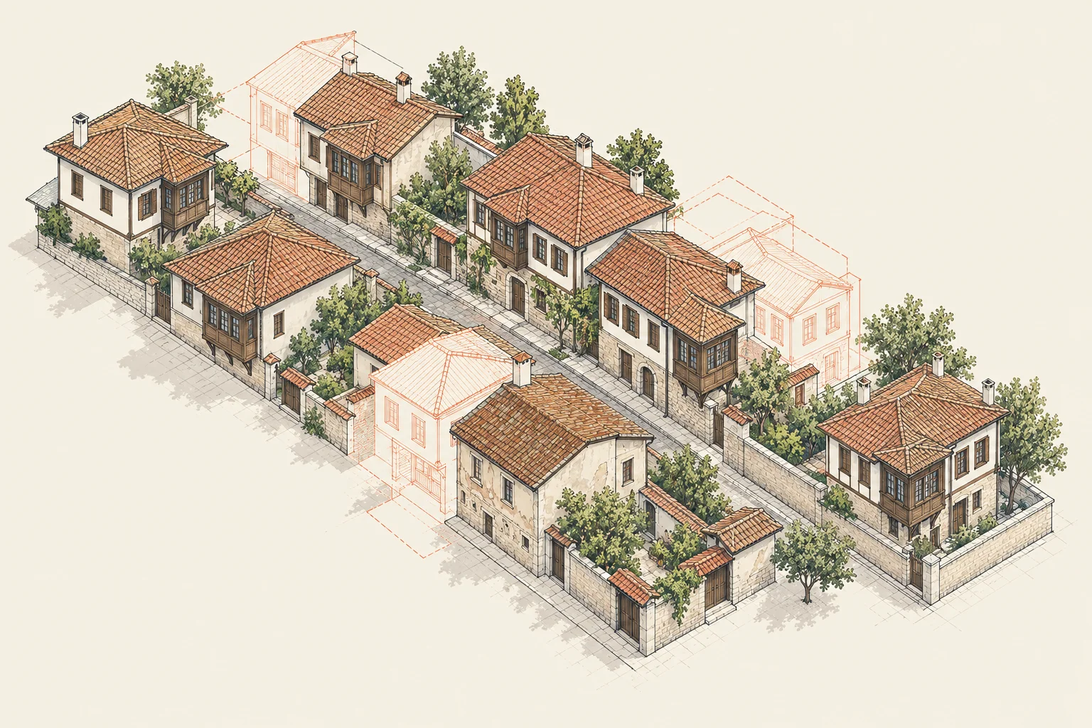
Representative axonometric illustration of Tuzla Renewal Project

Tuzla Renewal Project began

Between 1999 and 2024, measured-survey, restitution, restoration, electrical and mechanical projects were prepared for 100 historic buildings, together with street, façade and urban-design work.

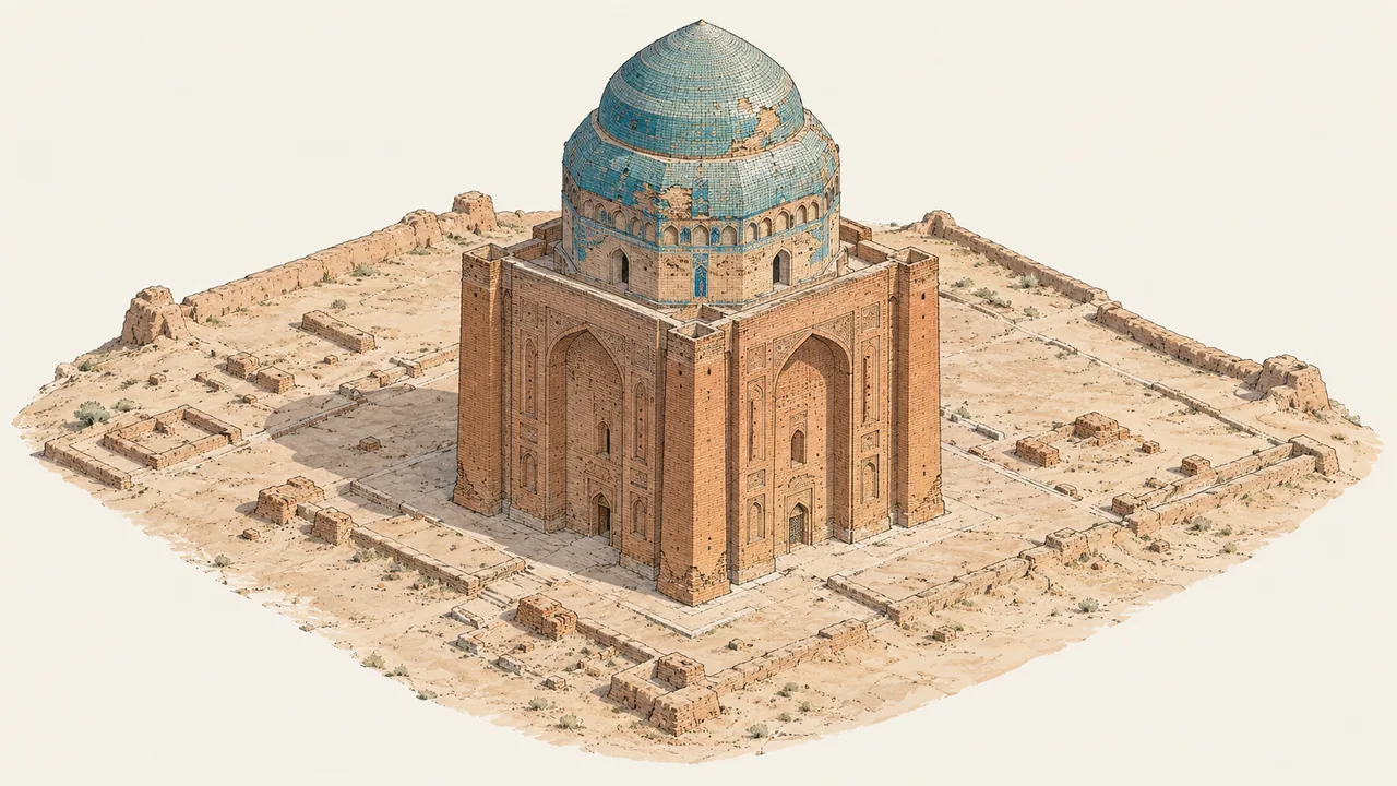
Photogrammetric survey of the Sultan Sanjar Mausoleum

Photogrammetric survey of the Sultan Sanjar Mausoleum

A photogrammetric measured survey was prepared for the restoration of the Sultan Sanjar Mausoleum in Turkmenistan.

Press record for the Patara documentation work

Press record for the Patara documentation work

Photogrammetric documentation of Patara Ancient City and its theatre was matched to a public press record dated 2006.

Ahlat Seljuk Cemetery

Ahlat Seljuk Cemetery

Measured surveys of 130 tombstones, an inventory of 4,500 stones and a Cemetery Information System.

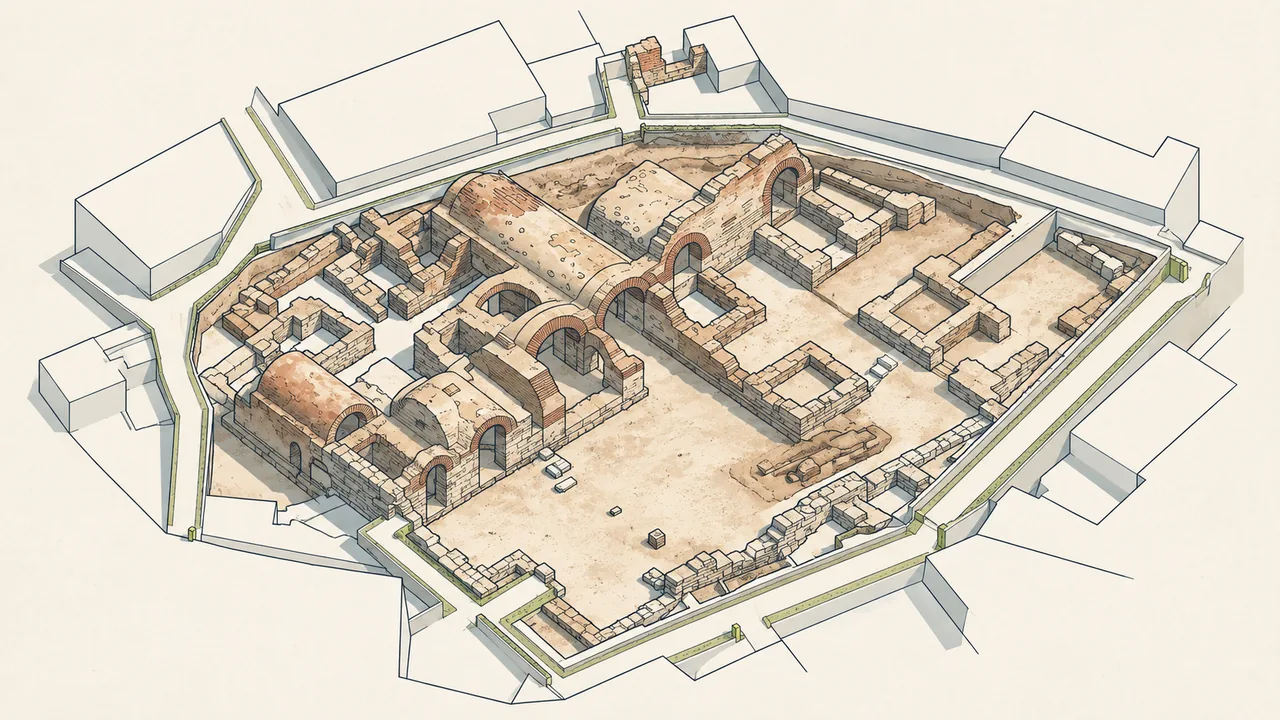
Project and documentation process at Damatris Palace

Project and documentation process at Damatris Palace

The archive board records the start of survey, restitution, restoration and landscape design work in 2010, alongside archaeological excavation and precise documentation.

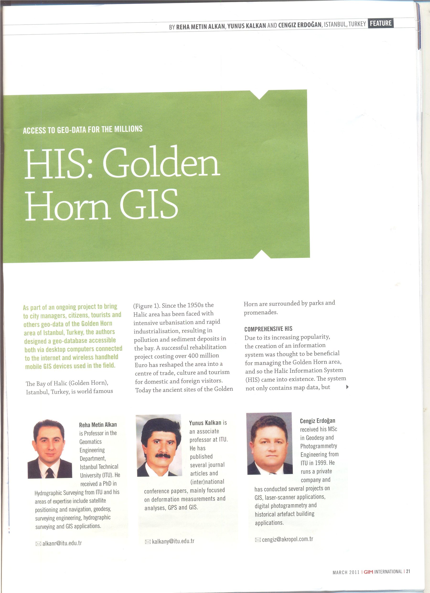
Golden Horn Information System in an international publication

Golden Horn Information System in an international publication

The web-based Golden Horn Information System is documented by the article 'HIS: Golden Horn GIS' in the March 2011 issue of GIM International.

Aydos Castle source record from 2011 onward

Aydos Castle source record from 2011 onward

Scientific excavation, survey, restitution, restoration and emergency intervention are matched to sources dated 2011 and later.

Representative axonometric illustration of Eyüpsultan Mosque

Eyüpsultan Mosque structural-health monitoring

A structural-health monitoring system was installed and measured-survey drawings were prepared, linking monitoring data with architectural documentation.

Conservation projects for the Istanbul Governor's Building

Conservation projects for the Istanbul Governor's Building

Akropol prepared the measured-survey, restoration and landscape-design projects for the Istanbul Governor's Building.

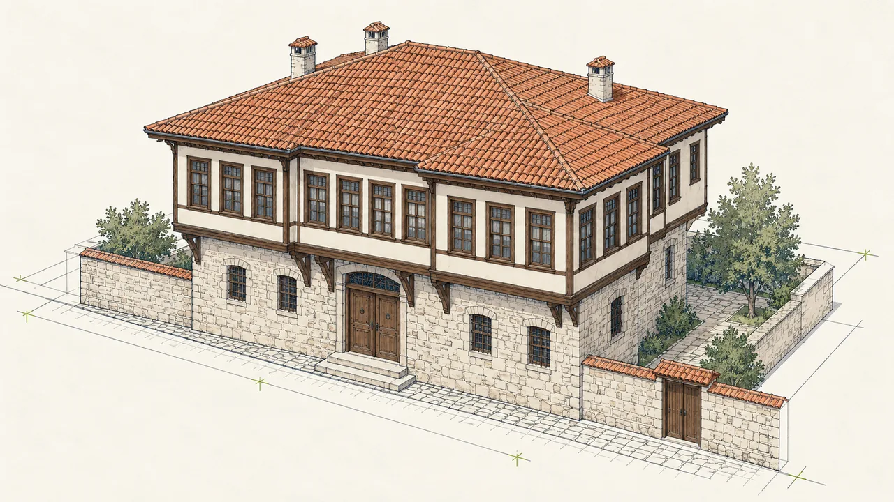
Restoration implementation at Gaydaroğlu Mansion

Restoration implementation at Gaydaroğlu Mansion

The mansion was restored as a boutique hotel, demonstrating Akropol's on-site implementation role as well as design work; the project received a plaque from the Tokat Governorate.

Admission to Eskişehir ATAP Technopark

Admission to Eskişehir ATAP Technopark

Akropol was admitted to Eskişehir ATAP Technopark with its 3D Cultural Inventory Project.

Bakırköy Fildamı

Bakırköy Fildamı

An integrated 3D model combining above-ground documentation with ground-penetrating radar data.

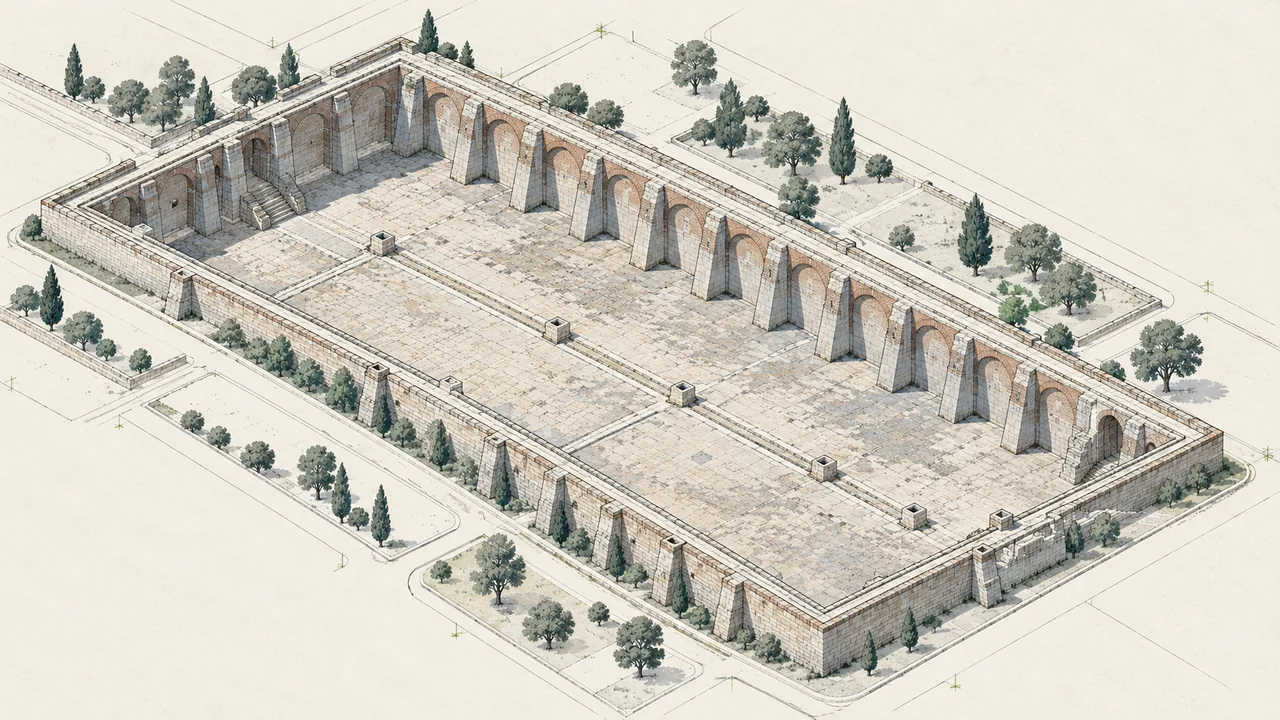
Nene Hatun Historic National Park and Aziziye Bastions

Nene Hatun Historic National Park and Aziziye Bastions

The portfolio records surveying, restitution, restoration, electrical, mechanical and landscape consultancy during the 2014–2015 period.

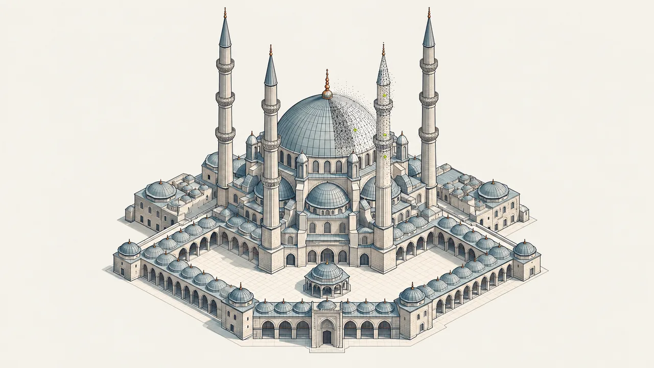
Photogrammetric 3D model of Selimiye Mosque

Photogrammetric 3D model of Selimiye Mosque

A photogrammetric 3D model was produced from drone and terrestrial photographs and fabricated as a physical model with a 3D printer.

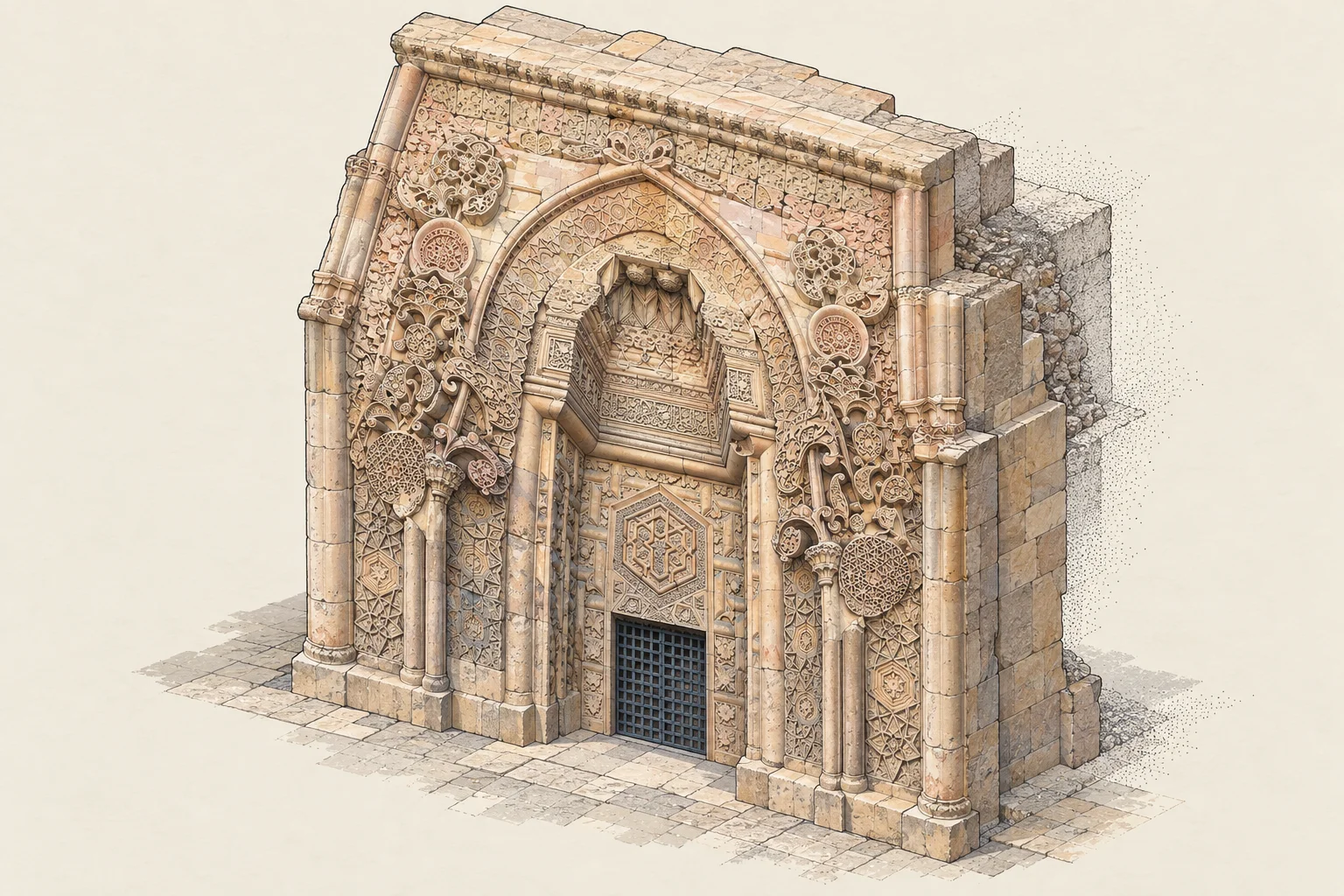
Representative axonometric illustration of Heaven Gate at Divriği Great Mosque

3D documentation of the Heaven Gate at Divriği Great Mosque

A high-resolution photogrammetric 3D model of the Heaven Gate was produced and fabricated as a physical model with a 3D printer.

Galata–Karaköy–Beyoğlu Tunnel

Galata–Karaköy–Beyoğlu Tunnel

Laser scanning, 3D documentation and deformation studies used as a research subject in Dr Cengiz Erdoğan’s doctoral thesis.

Digital-twin software at Zonguldak Technopark

Digital-twin software at Zonguldak Technopark

Akropol entered Zonguldak Technopark with a web-based photogrammetric 3D and GIS-driven digital-twin spatial information system project. That software project is complete; development of Turkish mobile GIS-based building-inventory software continues.

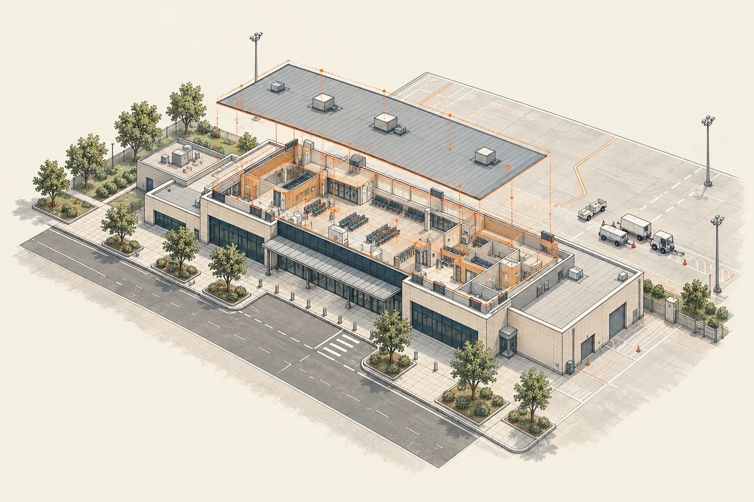
Representative axonometric illustration of Çorlu Airport digital-twin method

Çorlu Airport digital twin project

3D spatial information system and digital twin work for Çorlu Airport Terminal.

Contact

Planning more than a survey?

Tell us about your project →