
Service
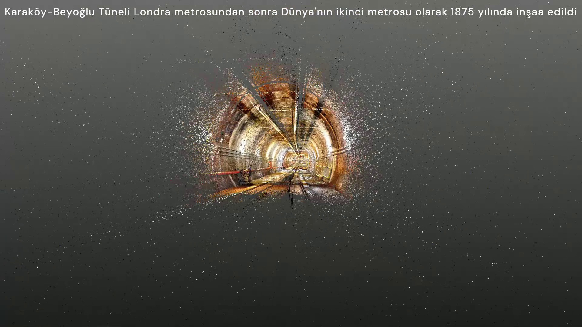
Geodesy, surveying and mapping engineering
Measures land, structures, subsurface and coastal areas to project accuracy and produces reliable engineering data.
Service outputs
Surveying / What do we produce?
Related project records
The method in the field.
Let us define your project together.
Tell us about your needs, available data and expected outputs.
Contact us →