
Bakırköy Fildamı
Istanbul · Bakırköy
Istanbul · Bakırköy

Bakırköy Fildamı

An integrated 3D model combining above-ground documentation with ground-penetrating radar data.

Project facts

Location, period and scope of work.

02 / Location
İstanbul Bakırköy
03 / Period
2012
04 / Field
3B belgeleme ve jeofizik

Project chain

  1. 01Survey
  2. 02Document
  3. 03Model
  4. 04Connect
  5. 05Monitor
01 /

Akropol scope of work

3B belgeleme ve jeofizik

Within the Bakırköy Fildamı Restoration Project, 3D documentation and ground-penetrating radar imaging were carried out, integrating subsurface and above-ground data in a single 3D model.

An integrated 3D model combining above-ground documentation with ground-penetrating radar data.

02

Reading the scope correctly

Scope and delivery evidence are different.

This page describes recorded work. File formats, survey accuracy and acceptance records are not inferred when they are unspecified.

Open this project in Atlas ↗
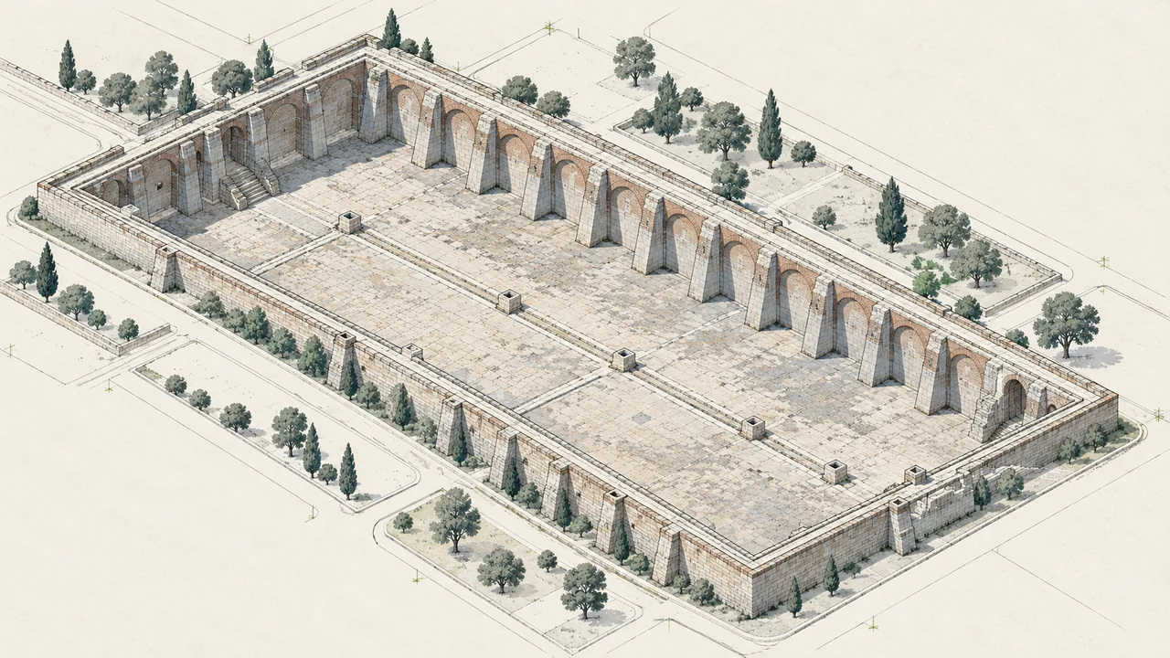
Representative axonometric visualization of Bakirkoy Fildami Cistern
Istanbul · Bakırköy · Representative visualisation

Method lens

Photogrammetry and laser scanning

Records buildings and sites with terrestrial, aerial and mobile methods to produce point clouds, orthophotos, measured surveys and 3D documents.

Explore the service scope for this method →

X / DATAY / PLACET / TIME

Explore related expertise.

Services → All projects →