Service
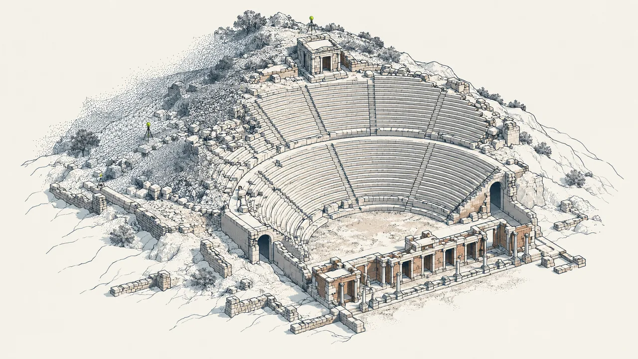
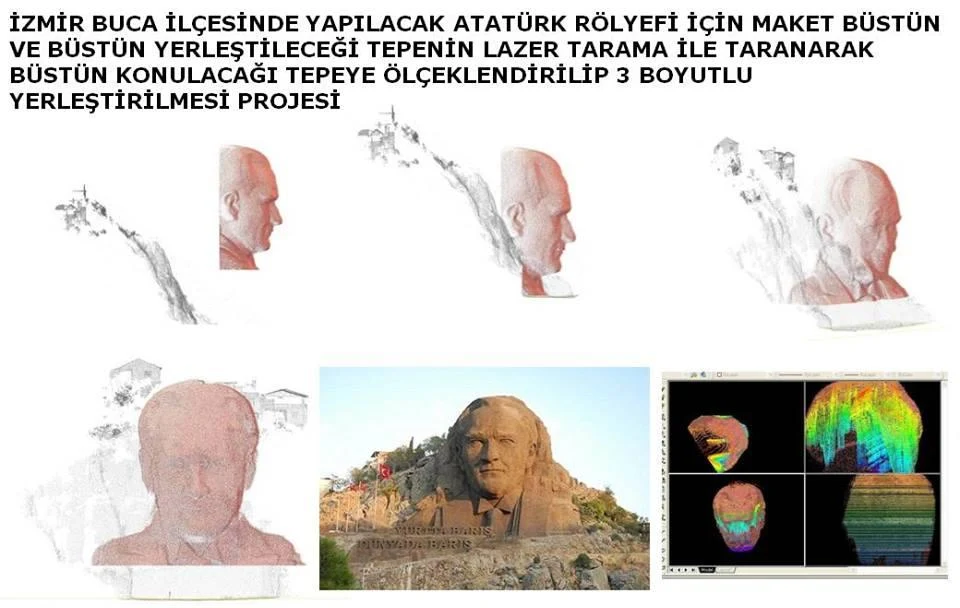
Photogrammetry and laser scanning
Records buildings and sites with terrestrial, aerial and mobile methods to produce point clouds, orthophotos, measured surveys and 3D documents.
Service outputs
Documentation / What do we produce?
Related project records
The method in the field.
Let us define your project together.
Tell us about your needs, available data and expected outputs.
Contact us →