
Digital twins and 3D spatial systems
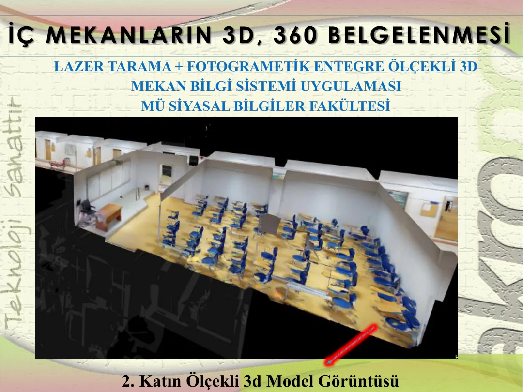
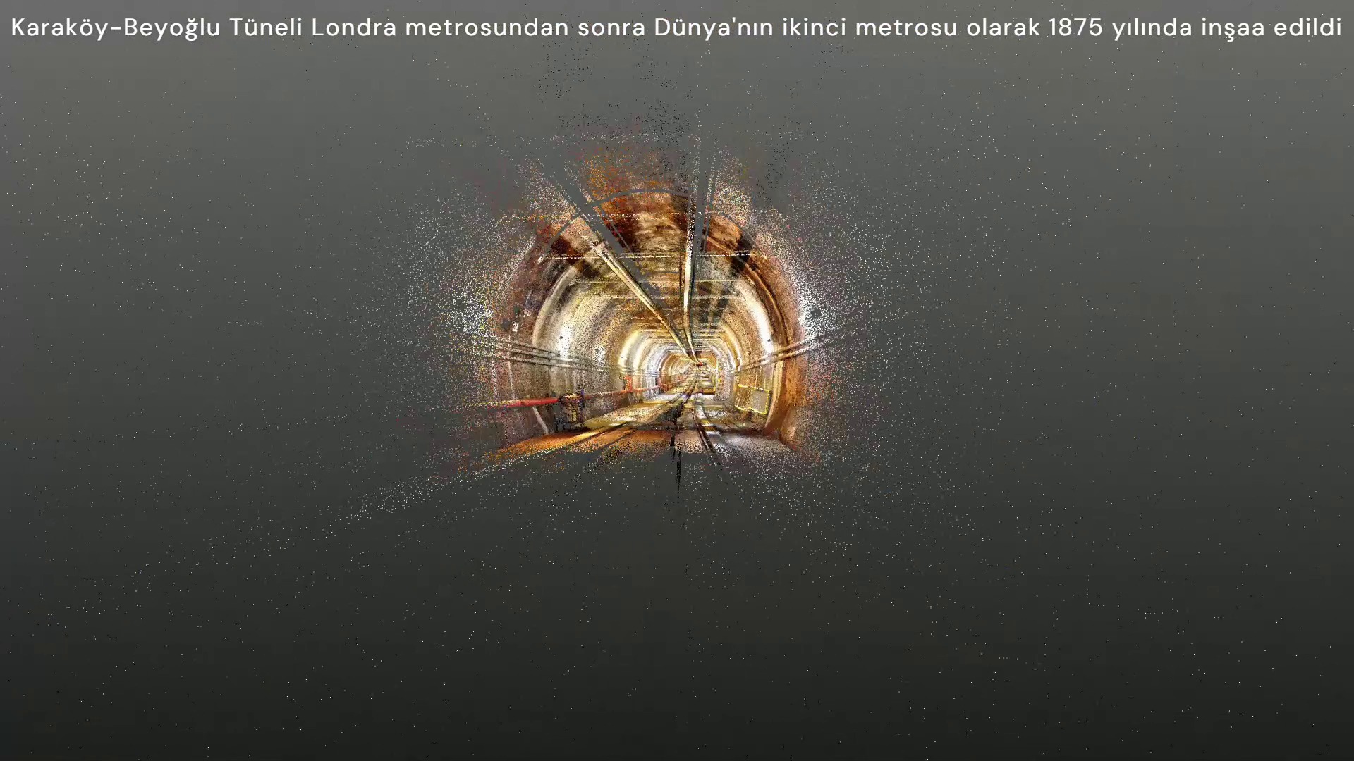
Combines building, facility and project data on a measurable 3D model and turns space into a living information system.
- 3D spatial information system
- BIM and facility data
- Interactive model
Services
Every discipline is a connected part of the chain from field capture to a long-term decision system.
From need to method
Scale, accuracy, data structure and update ownership matter as much as the output name. These are defined before the commission starts.
| Need | Method | Output to define in the brief |
|---|---|---|
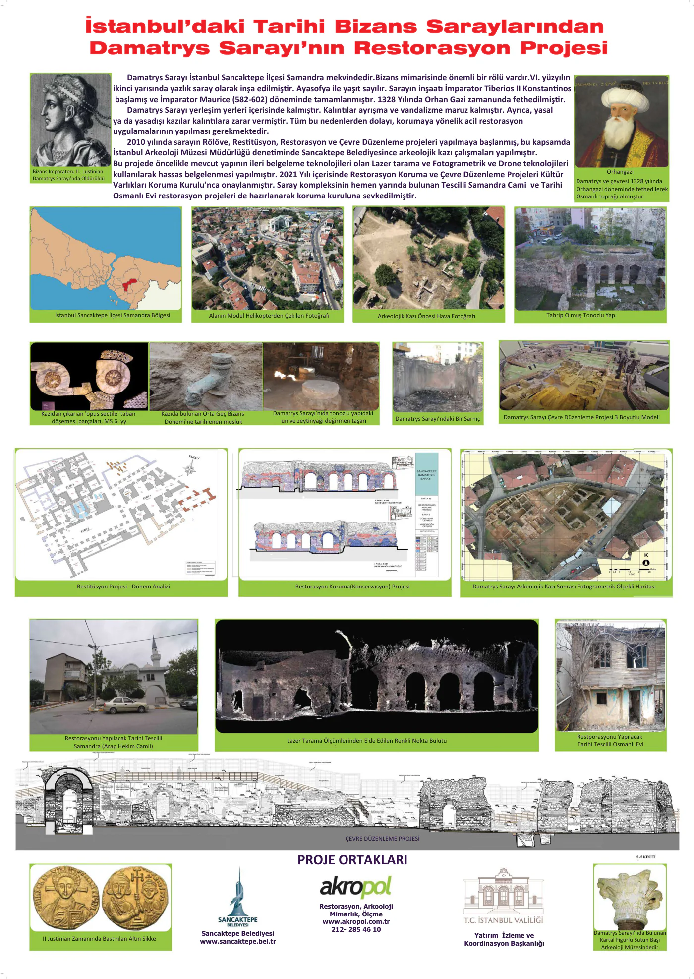
| Measure existing geometry ↗ | Laser scanning · photogrammetry · geodetic survey | Point cloud, orthophoto, plans and sections |
| Conserve a heritage asset ↗ | Measured survey · restitution · restoration | Conservation design and construction scope |
| Query location-based information ↗ | GIS · inventory · data links | Spatial database and queryable system |
| Connect space and asset information ↗ | 3D space · BIM · web 3D | Linked models and information layers |
| Monitor structural behaviour through time ↗ | Sensors · baseline · data analysis | Monitoring, alerts and reporting scope |
Service atlas
Explore each discipline independently or as a connected part of the same project workflow.
Combines building, facility and project data on a measurable 3D model and turns space into a living information system.
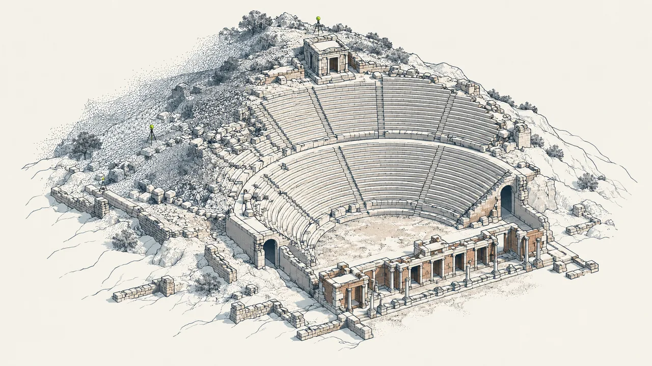
Records buildings and sites with terrestrial, aerial and mobile methods to produce point clouds, orthophotos, measured surveys and 3D documents.
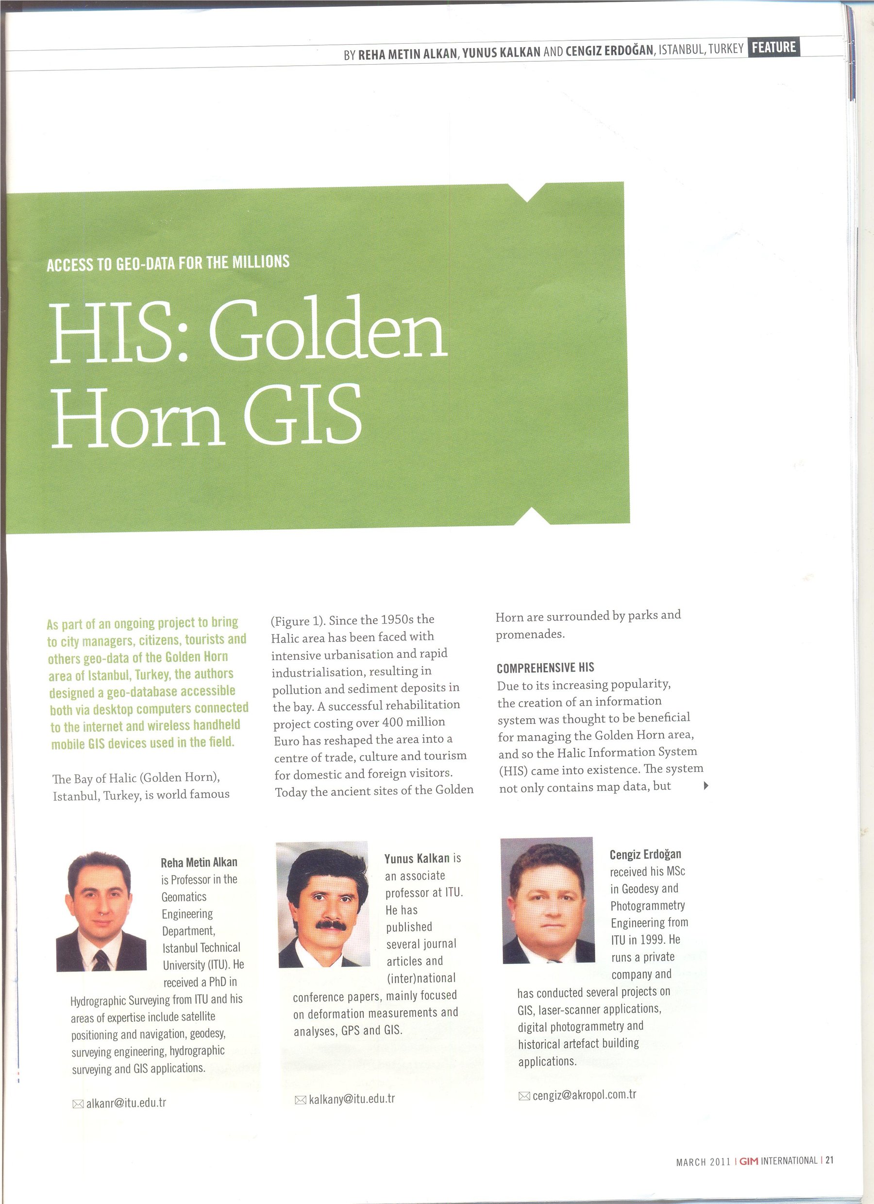
Combines spatial data for inventory, querying, analysis, remote sensing and decision support.
Measures land, structures, subsurface and coastal areas to project accuracy and produces reliable engineering data.
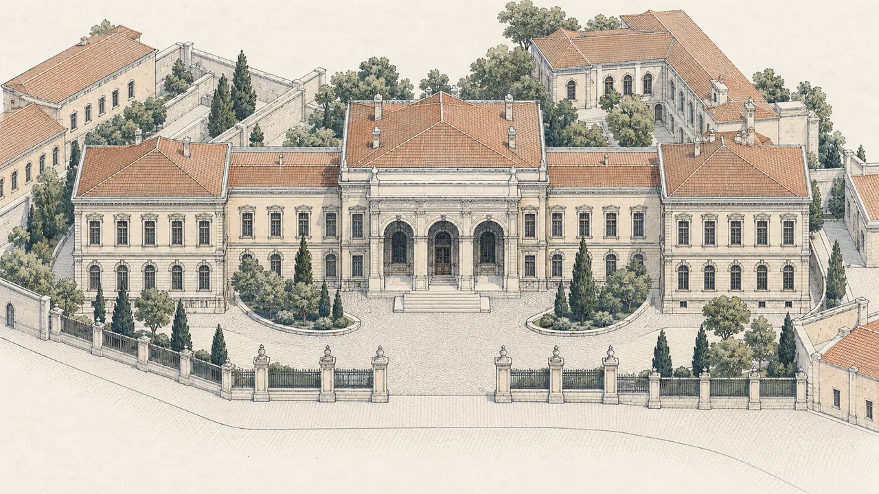
Connects measured survey, restitution, restoration and engineering projects with site implementation and construction management.
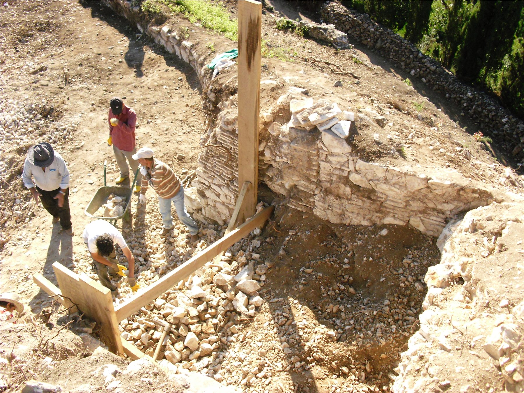
Brings scientific excavation, archaeological documentation, art-historical research, artefact inventory and emergency conservation into one record chain.
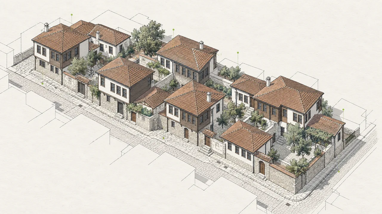
Carries regeneration areas from the building scale to neighbourhood and city scale through inventory, planning, design and implementation decisions.
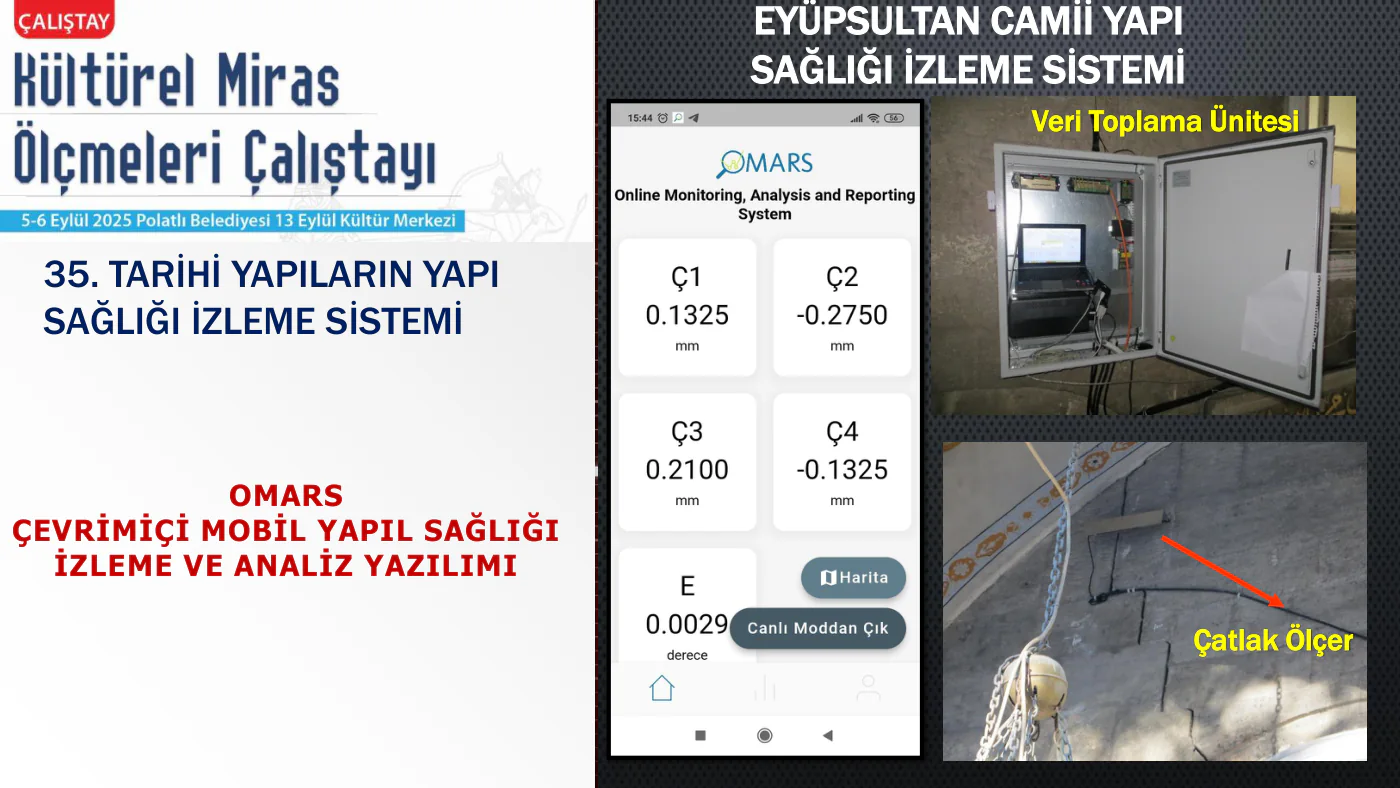
Tracks sensor, geodetic and field data over time and turns structural change into readable indicators, alerts and reports.
Combines pre-disaster risk, vulnerability and accessibility studies with post-event damage assessment and decision support.
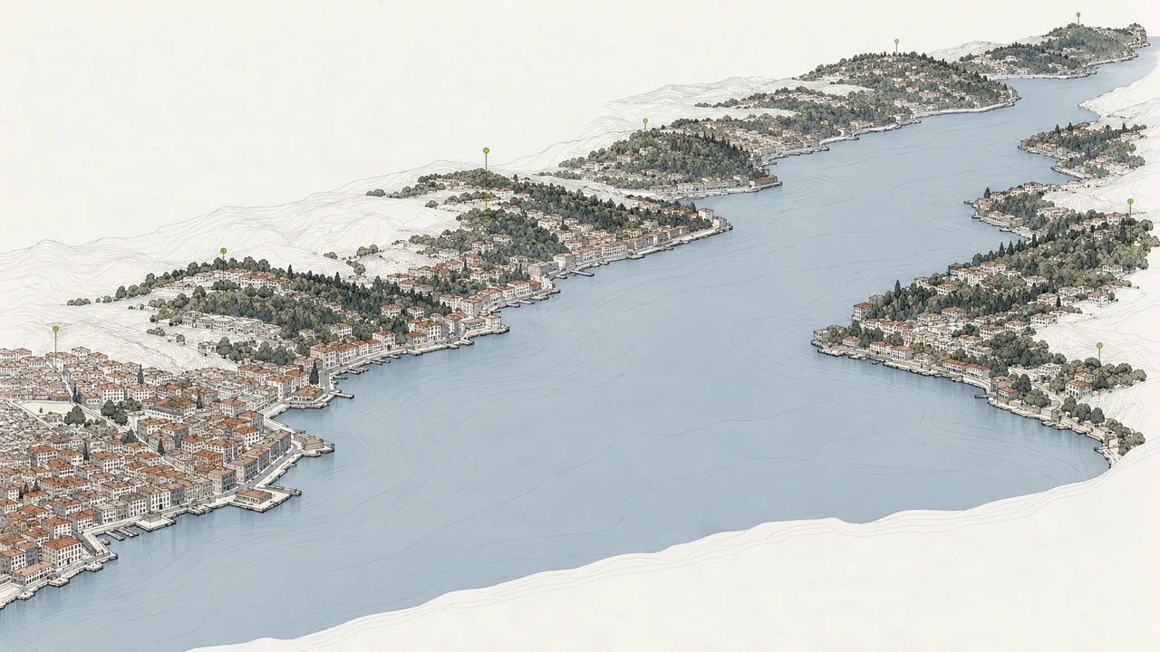
Structures EU funding applications from project concept to partnership, budget and reporting, supported by technical consultancy and applied training.
The right beginning