
Akropol scope of work
Dijital ikiz ve tesis bilgisi
Web based 3D spatial information system demonstration
A web-based 3D spatial information system demonstration.
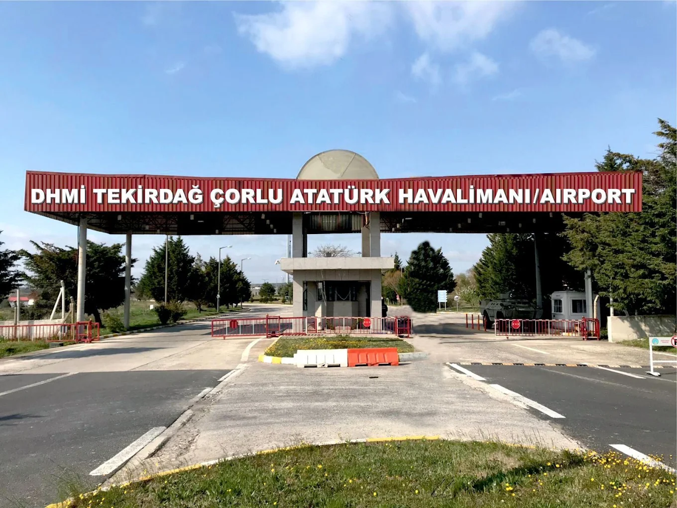
A web-based 3D spatial information system demonstration.
Project facts
Project chain
Akropol scope of work
Web based 3D spatial information system demonstration
A web-based 3D spatial information system demonstration.
Reading the scope correctly
This page describes recorded work. File formats, survey accuracy and acceptance records are not inferred when they are unspecified.
Open this project in Atlas ↗Method lens
Combines spatial data for inventory, querying, analysis, remote sensing and decision support.
Explore the service scope for this method →